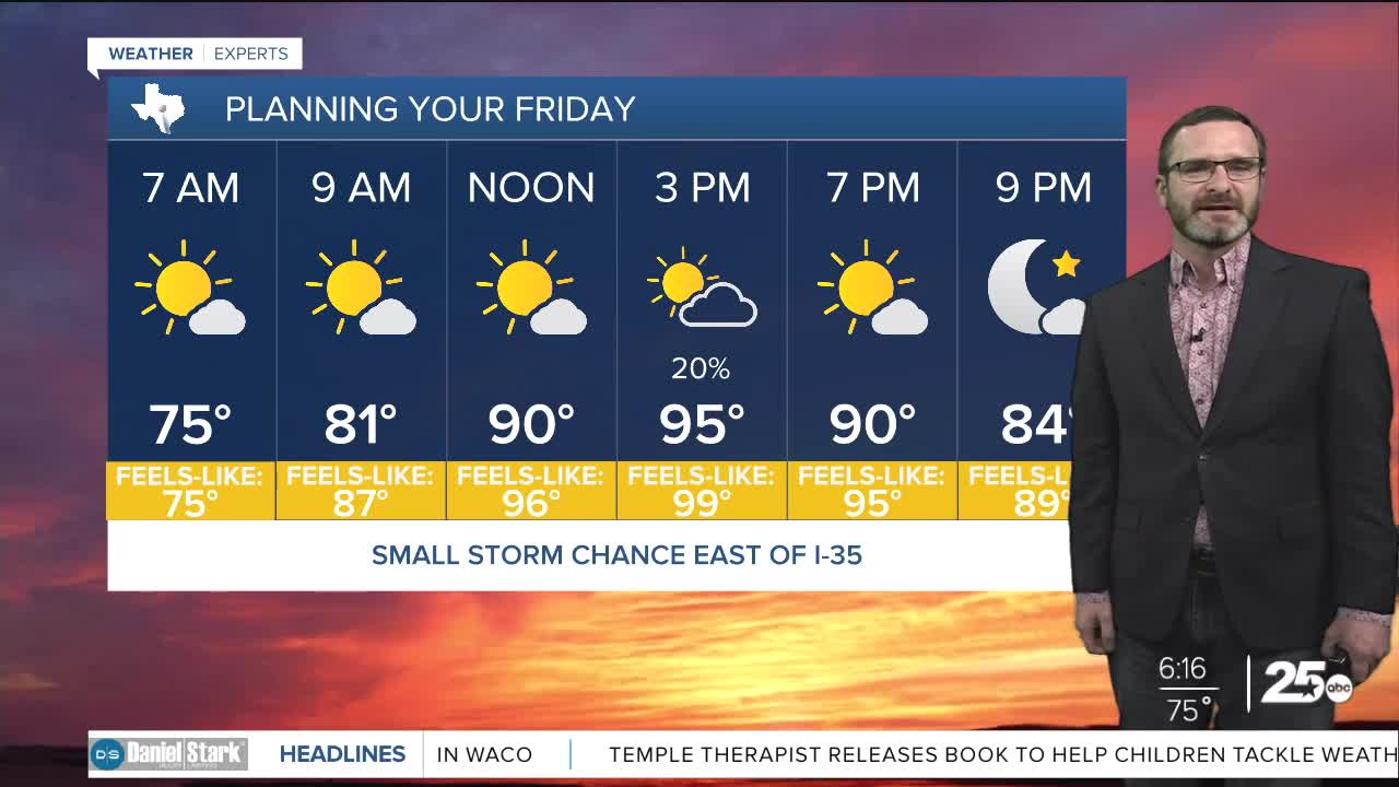


CENTRAL TEXAS — A few showers will be possible this afternoon, generally east of I-35. Other than that, highs will climb into the mid 90s with feel-like numbers that will near 100.
THE BREAKDOWN:
- Tracking small rain chances east of I-35.
- Other wise hot and humid with highs in the mid 90s.
- Next week looks toasty!
Good morning! We're keeping an eye on the radar this morning as the tropical wave that's been impacting Louisiana works into southeast Texas. That may bring a few showers east of I-35, with the best chances in the Brazos Valley. Most activity will struggle to reach I-35, but can't be ruled out. Otherwise, expect a hot and humid day with highs in the mid 90s and feel-like numbers near 100.
A few showers will still be possible along and east of I-35 on Saturday, but then heading into next week, high pressure starts to build in. That will shoot our temperatures into the upper 90s, and keep rain chances away.
Have a great Friday!
Meteorologist Josh Johns
25 Weather
