


CENTRAL TEXAS (KXXV) — Severe storms ripped through the region on Tuesday, bringing driving rain, flooding, and hail— along with several tornado watches and warnings.
Click here for the forecast for Tuesday evening and beyond.
Sights and sounds of Tuesday's storms:
Delia Vasquez in Rogers shared the view of heavy rain in her backyard, causing her gutters to overflow.
Drivers were slowed by pounding rain and flooded roads in and around Bryan.
Wendy Nelson in Salado shared her view of the strong gusts.
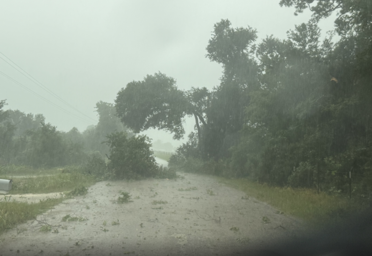
In Oglesby, the rain was coming down harder and faster than many drivers' windshield wipers could handle.

UPDATE 1:40 p.m.
UPDATE 1:36 p.m.

UPDATE 1:07 p.m.
A tornado warning was issued for Robertson County.
UPDATE 12:30 p.m.
A tornado warning was issued in Milam County.
UPDATE 12:04 p.m.
Storm Wrangler footage
UPDATE 11:20 a.m.

UPDATE 11:02 a.m.
Tornado warning issued for Milam, Robertson, Bell, and Falls Counties.
UPDATE 10:55 a.m.
Oncor reporting 41 power outages in McLennan County.
UPDATE 9:49 a.m.
Another round of severe weather is expected across Central Texas today, bringing the potential for hail, damaging winds, and tornadoes, according to meteorologists.
The greatest threat is forecast southeast of the Waco-Temple-Killeen area, where storm dynamics are more favorable. The Brazos Valley faces the highest risk for tornado activity.
Storms are expected to weaken later this evening, with calmer conditions returning and more stable weather anticipated heading into the weekend.
