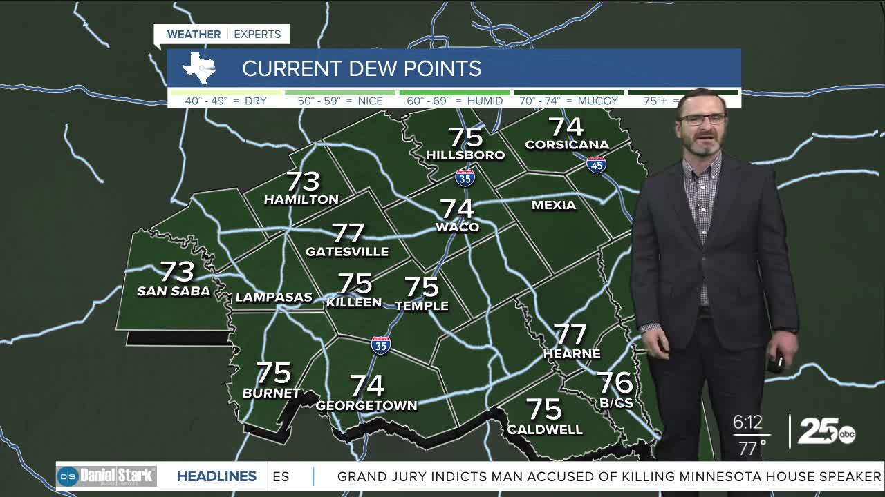


CENTRAL TEXAS — Highs will climb into the low to mid 90s this afternoon. An isolated shower chance will still be around, but most stay dry.
THE BREAKDOWN:
- Isolated rain chance this afternoon.
- Warm and steamy with highs in the mid 90s and feel-like numbers exceeding 100.
- Watching the tropics for weekend rain chances.
- Summer returns next week.
Good morning! Many of us are waking up to a quiet morning - a welcome sight! Highs will climb into the low to mid 90s today under partly cloudy skies. There is a small rain chance, but most will miss out. The drier pattern will carry into Thursday when highs will reach the mid to upper 90s.
Our next big thing to watch is a tropical blob on the west side of Florida. The National Hurricane Center gives this a medium chance of formation over the next 48 hours as it nears Louisiana. Yesterday, models suggested the high pressure driving it was weaker and would take the majority of it into Louisiana. Today however, there are signs the high may be a bit stronger and drive the moisture into Southeast Texas as well. This should be close enough to give us the potential for a few downpours Friday and Saturday, with the best chances east of I-35. Since there's tropical moisture with that, we will need to monitor the track closely.
Next week, our upper-level high builds bringing back summer-like conditions with highs in the upper 90s.
Have a great Wednesday!
Meteorologist Josh Johns
25 Weather
