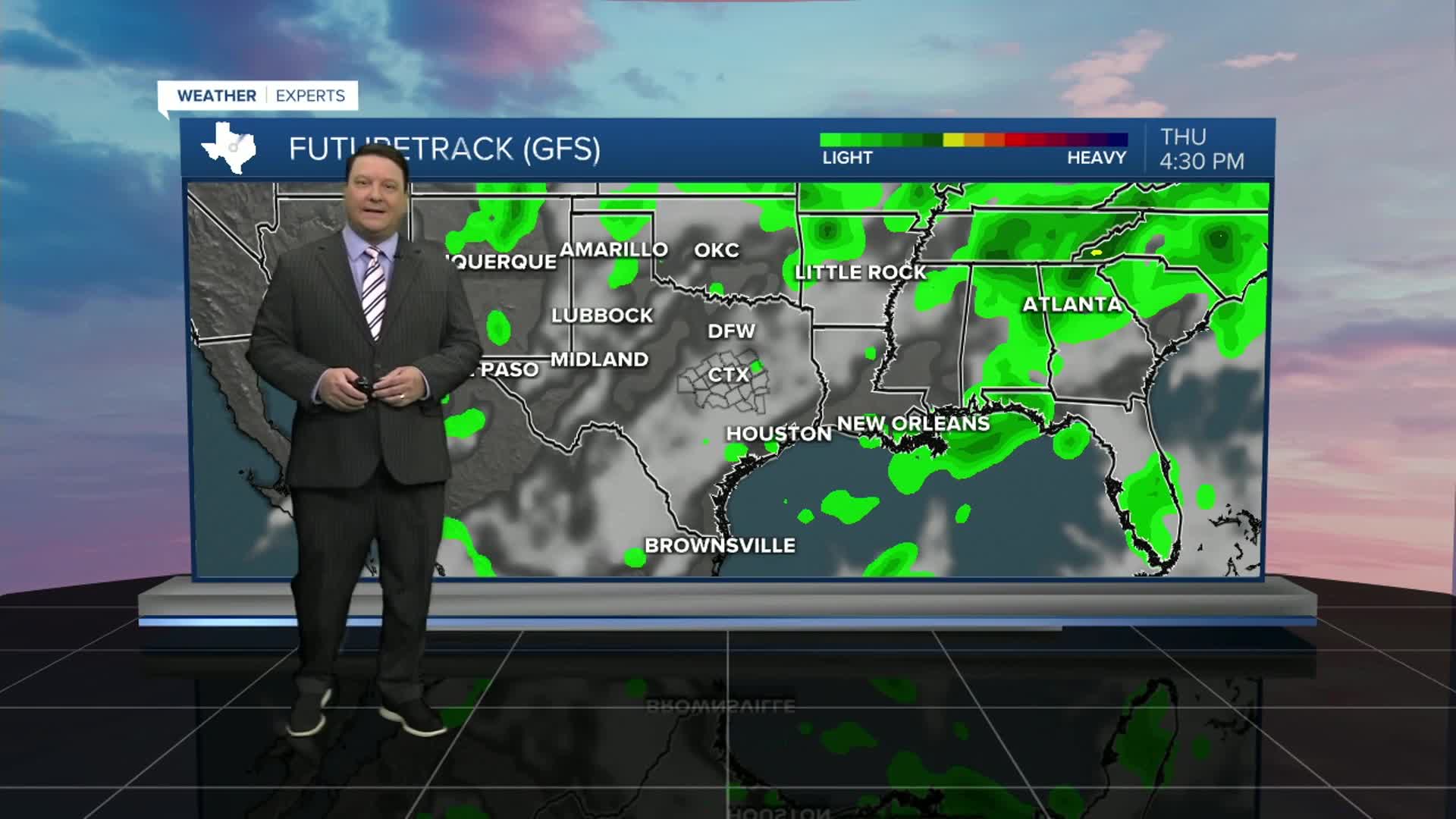
25 EVENING WEATHER — The heat is on full blast, but we are seeing lower humidity values, so that is helping just a bit. It will be mostly clear tonight with lows in the low 70s. Wednesday has the potential to be our first 100° day. With that said, the models have been trying to go 100+ for awhile now, and we have yet to hit the century mark. I literally think it will be 99 or 100° Wednesday afternoon. It's only one degree, but that will determine whether we see our first 100 degree day or just fall short. It will be fun to watch for sure!
Thursday will bring more heat, but there will likely be some thicker high clouds as well. With that, I am forecasting highs in the upper 90s. The bigger change will happen Friday into the weekend. A weak cold front is expected to enter the region Friday afternoon and evening. This will set the stage for a few scattered showers and storms Friday evening. I still think it will be hot Friday with highs in the mid to upper 90s. The boundary will continue to sag south Friday night and Saturday, but where does it stop? If it goes too far south, then rain chances will be lower Saturday. If it sits over the area, then we will have another chance of scattered storms. This will be something we track closely as we head into the weekend. No matter what, Saturday looks a bit cooler with highs in the low 90s. Sunday, the weak front washes out, so it is back to hotter weather with highs in the mid 90s. There could be an isolated storm or two Sunday, but we should be drying out as we head into next week.


