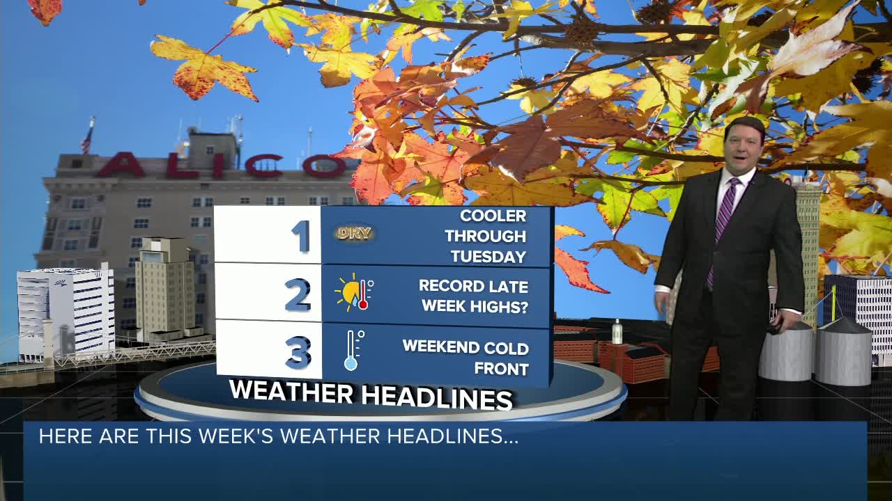


A cold front brought a big change to Central Texas today with gusty north winds and cooler temperatures. It will stay chilly tonight with lows diving down into the mid 30s. Tuesday looks mild with highs in the mid 60s under mostly sunny skies.
The temperatures take off again as we move into the middle and end of the week! Highs Wednesday will likely be in the mid 70s...the low 80s Thursday...and the mid 80s Friday. We may flirt with some record highs, especially Thursday and Friday!
Our next system arrives Friday night into Saturday morning. This will bring a chance for a few showers and storms early Saturday, especially along and east of I-35. It will be cooler behind the system with highs in the 60s Saturday and the upper 50s Sunday. We may get close to freezing Sunday morning as well. Buckle up and enjoy the ride!
Matt Hines
First Alert 25 Chief Meteorologist
