

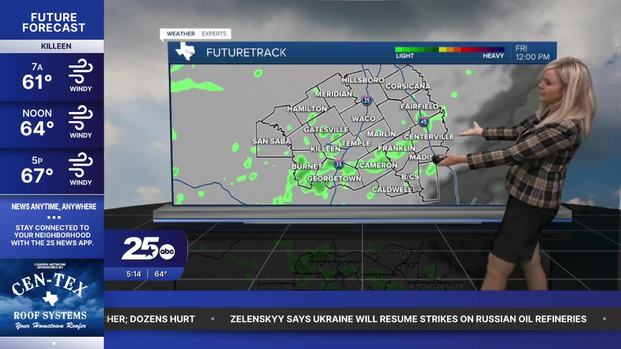


CENTRAL TEXAS — Leave your hat and umbrella at home. A windy Friday is in front of you.
The heaviest rain from today's cold front has stayed primarily west of Central Texas. Our northwestern counties did receive some moderate rain. Rain chances will be light and minimal as we move through the day. The main areas affected have been San Saba, Mills, Bosque and Coryell. Radar is indicating from a quarter inch to up to two inches in isolated areas. Our rain chances throughout Central Texas will diminish significantly as we move through the morning. It will be scattered with isolated areas getting light precipitation. Much of our area will remain dry, with cloud cover in the morning. The clouds will blow out as the day progresses.
FRIDAY: The winds will funnel colder, drier air from the north into Central Texas and the Brazos Valley. Sustained winds will average about 20 to 30 mph. But the wind gusts will reach between 35 and 45 mph. Make sure you have light, loose debris secured unless you want it in your neighbor's yard.
SATURDAY: It's going to be a chilly wake-up as temperatures drop into the 40s overnight. Highs will again reach the upper 60s. It will not be as windy as Friday but north wind gusts around 25 mph will make it a breezy Saturday. Sunshine returns.
SUNDAY: Another morning in the 40s but by the afternoon we return to the 70s. It will be a beautiful, dry, sunny Sunday with very comfortable afternoon temperatures.
NEXT WEEK: We hit the 70s on Monday and rise to slightly above average temperatures in the mid 80s for the rest of the week.
Want this forecast delivered to your inbox each morning? Sign up for the daily forecast email newsletter here.
