

25 EVENING WEATHER — We will see a few widely scattered showers and storms through this evening, especially across the northern half of Central Texas. The highest chance of severe weather will be in north Texas, but a couple of storms could be strong to severe in our area, mainly north and west of Waco. Storms will be few and far between, so many places may not see much rain at all. Lows tonight will be in the mid to upper 60s.
Thursday looks pretty quiet, but I won't rule out a pop up isolated storm here or there. Highs will rise into the low 80s Thursday afternoon.
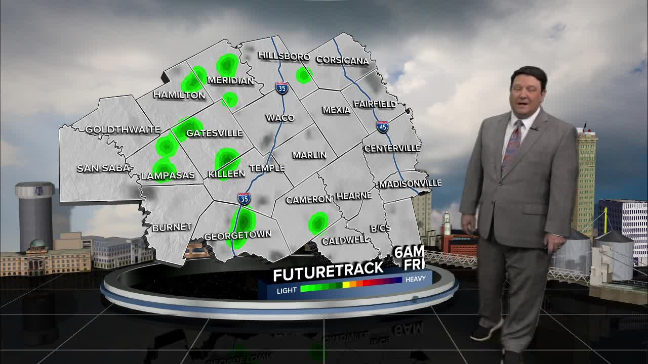
Friday, a storm system is expected to move into the plains. The best chance of severe weather will be in north Texas up into Oklahoma. We will be on the tail end of this activity, so we may not see many storms, but anything that develops could be severe with large hail and strong winds the main threats. It will remain warm and humid Friday with highs in the low 80s.
This weekend, a cold front should push into the region during the day Saturday. Right now, it looks like the front will be pretty speedy, so that could lower the severe threat in our area a bit. With that said, a few storms could still produce small hail and gusty winds. We should transition to more of a heavy rain threat late Saturday into Sunday morning. 1-2 inches of rain are possible, with locally higher amounts. There are a couple of models that rapidly move the activity with the front Saturday night to the south of our area. If this solution is right, then rain amounts will be lower with drier conditions Sunday. Stay tuned!
Want this forecast delivered to your inbox each morning? Sign up for the daily forecast email newsletter here.
