

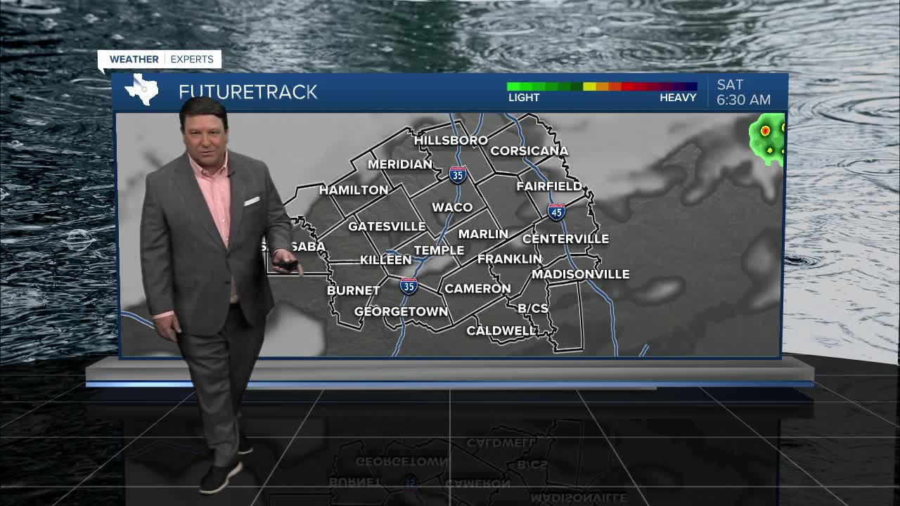


25 EVENING WEATHER — We are tracking a weak cold front! It won't do much for us, but there will be some small changes this weekend. Tonight looks calm with increasing clouds late. Lows will be in the upper 70s in the morning. Saturday, the front to the north will slide into Central Texas. This may spark off a couple of storms during the afternoon and evening hours. Gusty winds, lightning, and a brief downpour will be possible, but many areas may remain rain free. Highs will be in the 98-102° range.
Drier air will filter into Central Texas Saturday night into Sunday. This will allow for some more comfortable feeling air, but it will still be pretty hot. Highs will be in the upper 90s Sunday, but the morning and evening hours should feel better with that drier air in place.
The dry air will last through Monday. Lows should start off around 70° Monday morning, with highs getting back close to 100° Monday afternoon. The rest of the week will bring more humid and hot conditions with highs ranging from 99-101 each afternoon. August will feel like August.
Have a great weekend!
Want this forecast delivered to your inbox each morning? Sign up for the daily forecast email newsletter here.
