

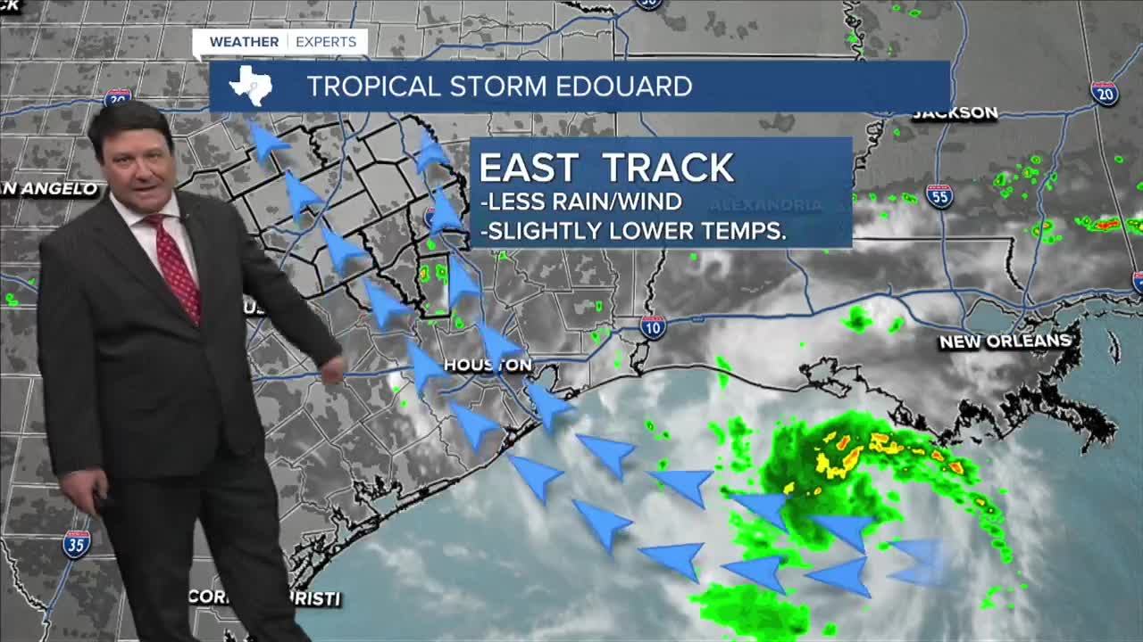


25 EVENING WEATHER — It appears we are going to change things around here for a couple of days as the tropics could be throwing a storm our way. There are still some track issues with the latest models, so nothing is set in stone just yet. However, if you live east of I-35, you will probably see some rain and cooler temperatures late Tuesday night through Thursday morning. If the track shifts farther west, more of the area will experience some tropical conditions. I think all is quiet tonight with lows in the mid to upper 70s. Tuesday, rain will start to move into the Brazos Valley by the late afternoon and evening hours. Highs will be in the mid to upper 90s east of I-35 and just over 100° again to the west of I-35.
Wednesday and Thursday, we will likely have some remnants of the tropical system in the area. The farther east you are, the better the chance of rain and cooler temperatures. If the center of the system moves into parts of Central Texas and the Brazos Valley, locally heavy rain will become a threat. Details will be ironed out Tuesday into Wednesday, but it does appear we will have a break in the 100s around here! I have backed highs off into the low to mid 90s Wednesday and Thursday afternoons. That, along with rain chances, will be an answer to some prayers around here. We will continue to track the tropics as our storm gets closer over the next 24 hours. Stay tuned!
Want this forecast delivered to your inbox each morning? Sign up for the daily forecast email newsletter here.
