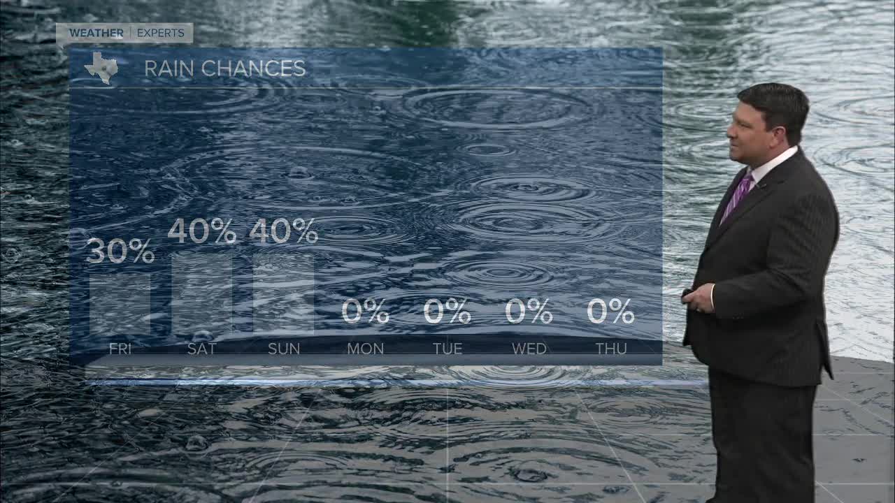


25 EVENING WEATHER — Our cooler temperatures will be slipping away as we head into the weekend. Tonight will be mostly cloudy with a slight chance for a few showers through the evening hours. Lows will fall into the upper 50s and low 60s. Friday will be partly to mostly cloudy with highs getting close to 80°. There could be a few storms from time to time, but rain chances are only 30%.
A storm system will roll out of Mexico and into south Texas Friday night into Saturday morning. Right now it looks like the bulk of the rain will be south of our area, but we could see a few scattered showers and storms during this time frame. Most of Saturday afternoon should be quiet with highs in the mid 80s.
Mother's Day Sunday will be warm and humid. Highs will likely reach the upper 80s, and most of the day should be dry. A cold front is expected to roll in late Sunday afternoon into the evening hours. This may spark off scattered showers and storms, but hopefully most of your Mother's Day will be fine.
The cold front will drop temperatures Monday with highs in the upper 70s to near 80°. We are right back into the mid to upper 80s by the middle to end of next week as the humidity returns. There could be some isolated storm activity by the end of next week, but rain chances as of now are only 20%.
Want this forecast delivered to your inbox each morning? Sign up for the daily forecast email newsletter here.
