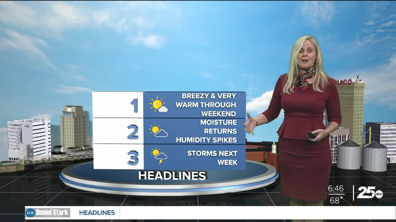


CENTRAL TEXAS — Friday morning is starting off a bit cloudy but those clouds will decrease to a more partly cloudy afternoon. It will be another very warm day with highs in the upper 80s. There is a slight chance of light overnight rain but the daytime looks to remain dry and breezy.
The big difference as we head into the weekend will be the uptick in wind speeds. Our southerly flow will bump our sustained wind speeds to 20 mph with some gusts pushing into the 30s. The good news is Friday looks to hold on to dew points in the low 60s. This will keep humidity mild for Friday. Saturday will feel slightly more humid at dew points hot 70.
Sunday and Monday, the dew points climb into the 70s. That that will make a noticeable difference in our "feels-like" temperature. If you're planning any outdoor activities, you'll want to wear breathable light clothing. With high temps hovering near 90, it will feel like its in the mid 90s for Sunday and Monday.
Although we can't rule out a small shower on Sunday, our first solid chance for rain is Monday. The trend at this point looks like we could have a few isolated showers with the majority of the day remaining cloudy and mostly dry. Some of you will not see any rain. This is ahead of the tail end of a cold front trying to make its way down to Central Texas mid-week.
Our best rain chances look to be Tuesday and Wednesday. We could even see a lingering set up that would bring a few showers on Thursday, and later in the week.
The models have been fickle with the amount of rain we will receive and the exact timing of the front, but I believe at this point, we will see the most precipitation mid week.
Temperatures are expected to cool down, yet remain warm behind the front. At this point it will be a nice relief to fall into the mid to low 80s mid-week. Chances for severe weather look to be quite low, simply because the center of low pressure will be far to the north, and the dryline will be off to the west.
Want this forecast delivered to your inbox each morning? Sign up for the daily forecast email newsletter here.
