

CENTRAL TEXAS — A bit more cloud cover today held temperatures back just a little bit. Highs only hit the mid 80s in Central Texas versus upper 80s in the Brazos Valley where there was a little more sunshine. But mid-80s is still average for mid May temperatures.
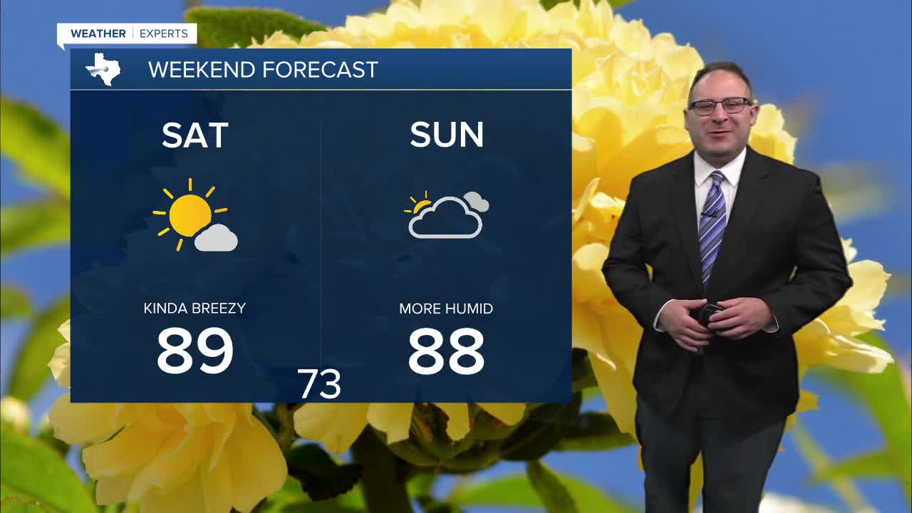
The weekend stays warm with highs in the upper 80s. More sunshine likely Saturday, and a little more cloudy on Sunday. There's a very-very low chance for a stay shower on Sunday along the dry line, but I think that'll still be closer to west Texas instead of our region, so I haven't added any rain chances in just yet and am very optimistic for a dry weekend.
For next week, there will be a very active weather pattern for central Texas. Thunderstorm chances will be daily starting Monday (night). At first, it'll be because the storm system over the Central Plains will fully mature over the Midwest on Monday. While the storm center is way far north - and all the severe weather chances will also stay very far north - the dry line in west and central Texas has a better chance to develop some thunderstorms Monday evening. The cold front, which is storm, will drop into Texas Tuesday and Wednesday and that will certainly result is more widespread rain and thunderstorms. Severe weather chances appear to be low.
Beyond Wednesday, weather models remain with an unsettled and active weather pattern, but the details aren't clear, so I have to keep generic thunderstorm chances in the forecast as temperatures stay in the mid 80s.
- 25 Meteorologist Thomas Patrick
Want this forecast delivered to your inbox each morning? Sign up for the daily forecast email newsletter here.
