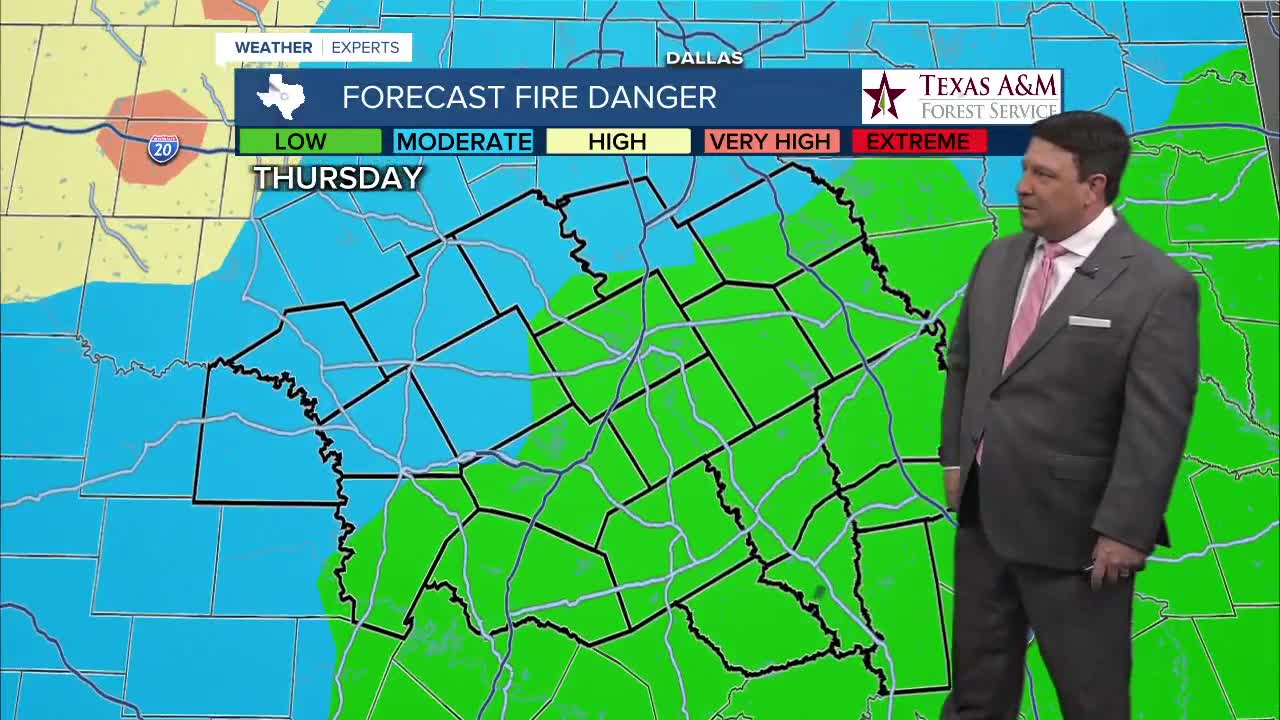


25 EVENING WEATHER — The warmth is going to continue over the next 24 hours as we head into Thursday. It will be mild tonight with lows in the low 60s. Highs Thursday afternoon should make it into the low 80s with west winds at 5-15mph. It will be quite dry, so there is an elevated fire danger.
Friday, a weak cold front will try to get into areas from Waco, north and east. Highs will be in the low to mid 70s near the front, but we should see upper 70s farther south and west. The main push of cooler air will arrive Saturday. Winds will shift to the north at 10-20mph with higher gusts during the day Saturday. Highs are expected to make it into the upper 60s north to mid 70s south. We all will cool down Sunday as highs drop into the low to mid 60s with lows in the 30s and 40s.
It will stay cooler to start off Monday of next week in the low 60s once again. After that, temperatures will soar again. Highs will be in the upper 60s Tuesday and upper 70s Wednesday.
Want this forecast delivered to your inbox each morning? Sign up for the daily forecast email newsletter here.
