

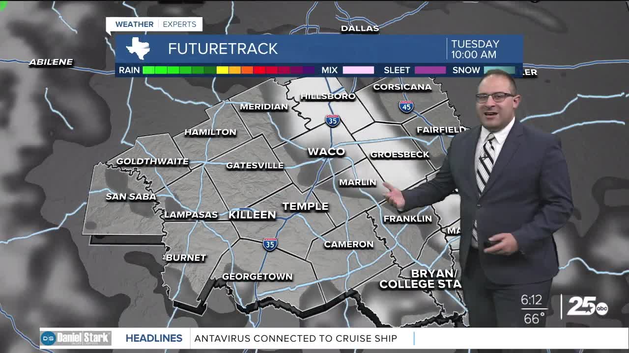


CENTRAL TEXAS — Tuesday will shape up to be a mostly dry and warm afternoon with partly cloudy skies. Expect high temperatures to remain in the upper 80s with mild humidity.
The big change comes this evening as a wave of storms enters Central Texas. The first arrival of rain should enter the western counties around dinner time. Our models are showing the rain moving relatively quickly, and crossing the I-35 corridor between 10 p.m. to midnight, then entering the Brazos Valley around 2 a.m. These storms should be cleared out prior to the morning commute.
On Wednesday, we will move from a very early wet morning to a mostly dry, cooler afternoon. Temperatures will drop slightly with highs expected in the low 80s.
Thursday quickly rebounds with highs in the upper 80s. A batch of humidity enters the atmosphere with a small chance for isolated pop-up storms. With dew points in the 70s, Thursday's heat index will push feels-like temperature into the mid 90s.
We dry out as we move into Friday and Saturday with fewer storm chances. Our next best opportunity for rain after Wednesday morning, will be on Sunday with a 40% chance of showers. High temperatures remain in the 80s through the weekend.
Want this forecast delivered to your inbox each morning? Sign up for the daily forecast email newsletter here.
