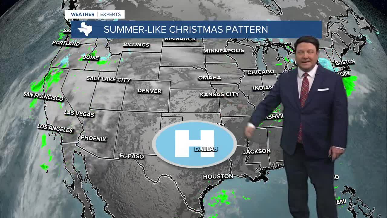


25 EVENING WEATHER — Great weather is here...if you like it warm on Christmas. Tonight will be mild with low clouds and patchy fog and lows in the mid 60s. Christmas Eve Wednesday and Christmas Day both look very warm! Highs will be in the low 80s each day. The record high Christmas Eve is 91°, so that will be safe. The record for Christmas Day is 82°, so that one could be in jeopardy.
Friday looks like the warmest day of the week if you can believe that! Highs will be in the mid 80s, yes mid 80s. Saturday looks warm as well, but we should shave a couple of degrees off of the temperature as we only rise into the low 80s.
Sunday will be a day of transition. A cold front will likely arrive Sunday afternoon. This will allow highs to rise into the low 70s ahead of the front, but we will see rapidly falling temperatures and gusty winds around here Sunday evening. This will lead to highs in the upper 40s Monday!
Want this forecast delivered to your inbox each morning? Sign up for the daily forecast email newsletter here.
