

25 EVENING WEATHER — We should maintain the status quo Thursday and Friday with highs in the 80s and lows in the 60s. There will be a bit more wind Thursday with sustained southerly winds at 15-25mph. Winds should come down into the 5-15mph range Friday ahead of a cold front.
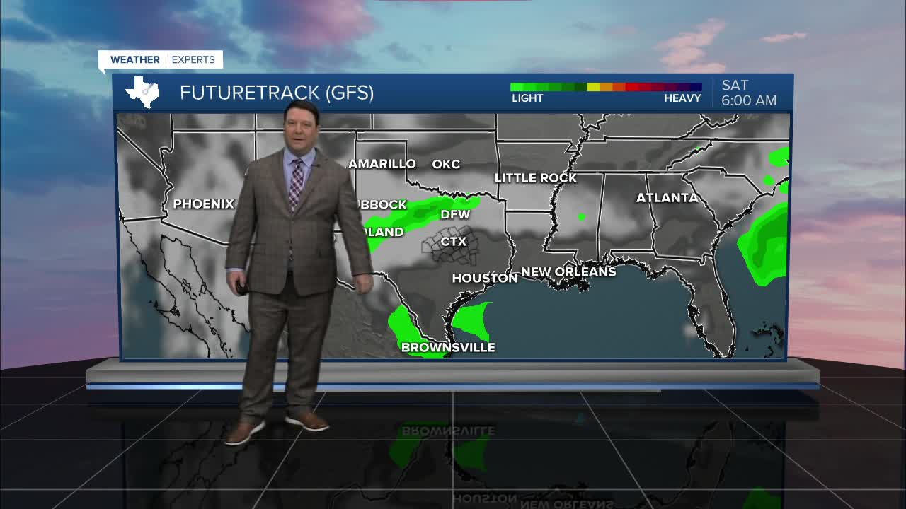
The above mentioned front should arrive Friday evening across Central Texas. This will shift winds to the north Friday night at 15-25mph. It will also bring some clouds and falling temperatures into the 50s Saturday morning. While a few sprinkles can't be ruled out, the chance of any measurable rain is less than 20%. It will be partly cloudy and a bit cooler Saturday with highs in the low 70s. We should rise right back into the low to mid 80s Sunday.
Next week will start off quiet. Highs in the 80s and lows in the 60s will be the norm once again. There should be a pattern change by the middle to end of next week as we get closer to Easter weekend. Right now there are high model to model run inconsistencies that far out. The trend shows a little better chance for showers and storms and cooler temperatures at some point late next week, possibly into Easter weekend. You are likely going to see a lot of chatter on the internet and from other outlets, but the fact is, we need to get closer to start nailing down details. So, don't believe everything you see. It is way to early to show rain total maps since each model run shows major differences. The models have been woefully off at this range with past systems this year. Case in point, we are still in a drought. Bottom line, it's something to watch at this point.
Want this forecast delivered to your inbox each morning? Sign up for the daily forecast email newsletter here.
