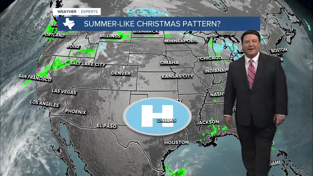


25 EVENING WEATHER — Folks that like warm weather are getting bonus spring weather here at Christmas time. We will have near record highs for several days. Tonight looks mild with lows in the low 60s. There could be some fog around in the morning hours, but it will burn off in the afternoon. Highs Tuesday will soar into the upper 70s and low 80s.
More warmth is expected Christmas Eve through Friday. We may see a few more clouds around Wednesday, so highs may stay closer to 80°. I am going an even 80 Thursday for Christmas Day. The record high is 82°, so that could be in jeopardy. Friday looks like the warmest day with highs in the low to mid 80s! Other than a few low clouds to start off each day, we should see plenty of sunshine each afternoon.
The weekend will bring changes, but it won't happen until Sunday. Highs Saturday will still be very warm ahead of a cold front in the low 80s. We will finally get cooler air in here Sunday and Monday. Highs will fall back into the 50s and 60s, which is more normal for this time of year. We still aren't tracking any major arctic air masses as of yet!
Want this forecast delivered to your inbox each morning? Sign up for the daily forecast email newsletter here.
