

CENTRAL TEXAS — Tuesday will be our last oppressively humid day of the week. Expect temperatures once again to reach the low 90s. With dew points returning to the 70s, the heat index should teeter around 100 degrees this afternoon. It's definitively a day to remain hydrated.
The flip side of the coin is back to back cold fronts will arrive starting tomorrow. And with those comes a steep temperature decline. Wednesday's high should drop to the mid 70s.
The cool down continues with the highest rain chances arriving Friday. That should bring us down to around 70 degrees or lower heading into the weekend. Then we hit the upper 60s on Saturday afternoon. Rain chances diminish and dry out, making for a cool and refreshing weekend. Sundays highs are in the 70s. Then a mild warming trend begins next Monday with temperatures rising to the 80s.
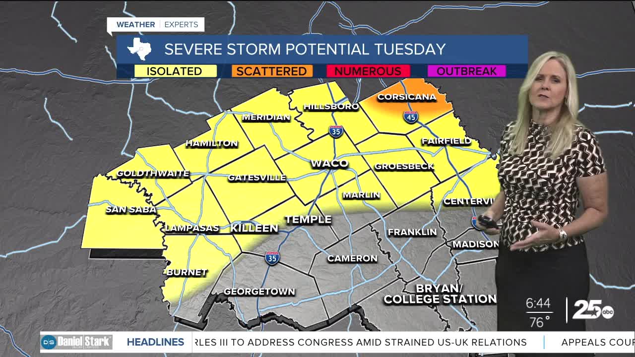
Rain chances increase with the fronts.
Want this forecast delivered to your inbox each morning? Sign up for the daily forecast email newsletter here.
