



CENTRAL TEXAS — Central Texans will close out the workweek with a hot Friday. The good news is the dew points significantly drop this afternoon, so it will feel less humid. The high temperature of 97 degrees will finally feel around 97 degrees. The high temperatures remain in the mid to upper 90s as we move through the weekend, with humidity creeping back in late Saturday.
The big changes come next week. A cold front makes its way down into Central Texas mid-week. The models are in disagreement about the timing, but Wednesday looks to be our wettest day. This front should finally provide us with relief from the heat. Temperatures could dip down to the upper 80s by the end of next week. We have had above-average heat through the entire month of September.
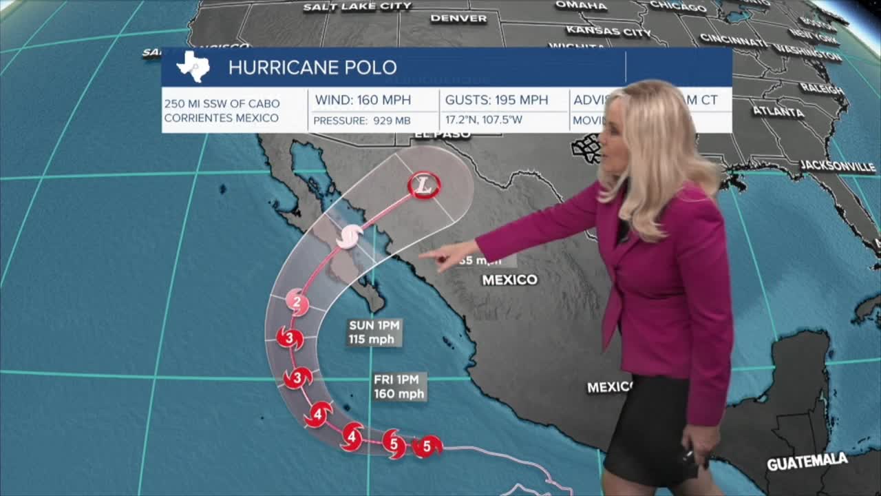
Meanwhile, in the Atlantic Ocean, Tropical Storm Gonzalo has formed off the coast of Africa, and Tropical Storm Fay made a comeback. Both of these storms will not affect the United States. Meanwhile, in the Pacific Ocean, Hurricane Polo continues to churn off the southwest coast of Mexico, switching between a Category Four and Five hurricane. It will move north and likely make landfall on Baja California before turning east into Mexico. This eastward turn could bring more moisture into Central Texas and increase our rain chances as the front enters our area next week.
Want this forecast delivered to your inbox each morning? Sign up for the daily forecast email newsletter here.
