

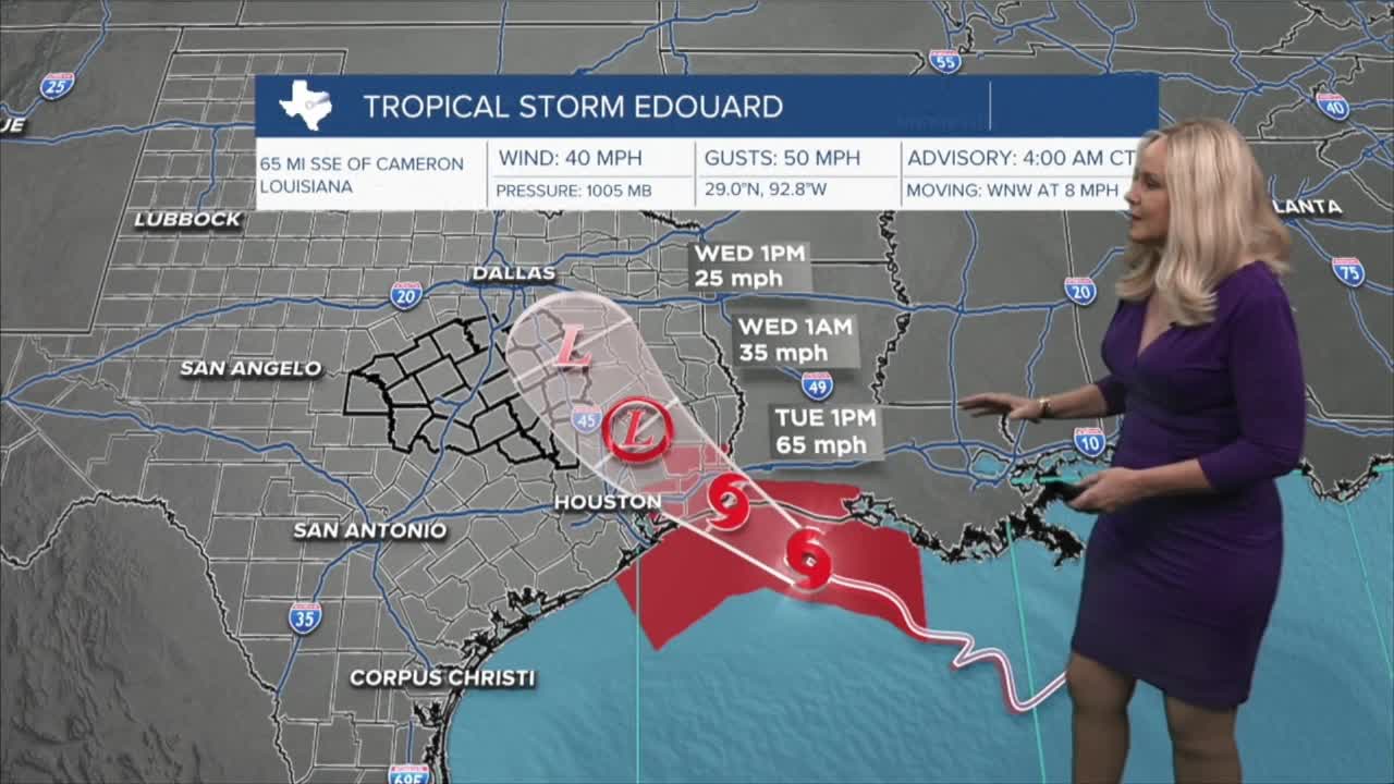


CENTRAL TEXAS — Tropical Storm Edouard is churning toward Central Texas. The 4 a.m update from the National Hurricane Center has Edward clocking as a low grade Tropical Storm with 40 mph winds and holding at the same pressure. Edouard has developed small core and is trying to strengthen and attempting to develop an eye wall. Fortunately Edouard will not have much time to travel in the warm Gulf waters and is expected to make landfall near the Texas-Louisiana border later this afternoon. There is a slim possibility it could become a hurricane.
The bigger question is how will Edouard affect Central Texas. The 4 a.m. update has it tracking up the east side of the Brazos Valley as possibly a depression and up Central Texas near the I-45 corridor as a downgraded low pressure system. The Brazos Valley will begin to see rain this evening and cloud coverage will stretch across Central Texas with lower opportunities for storms later today. Wednesday will see the most impact with rain and strong winds, primarily on the east side of I-35 and stronger near I-45. Expect highs in Central Texas to hit the upper 90s, with the Brazos Valley checking in with highs in the mid 90s.
Want this forecast delivered to your inbox each morning? Sign up for the daily forecast email newsletter here.
