

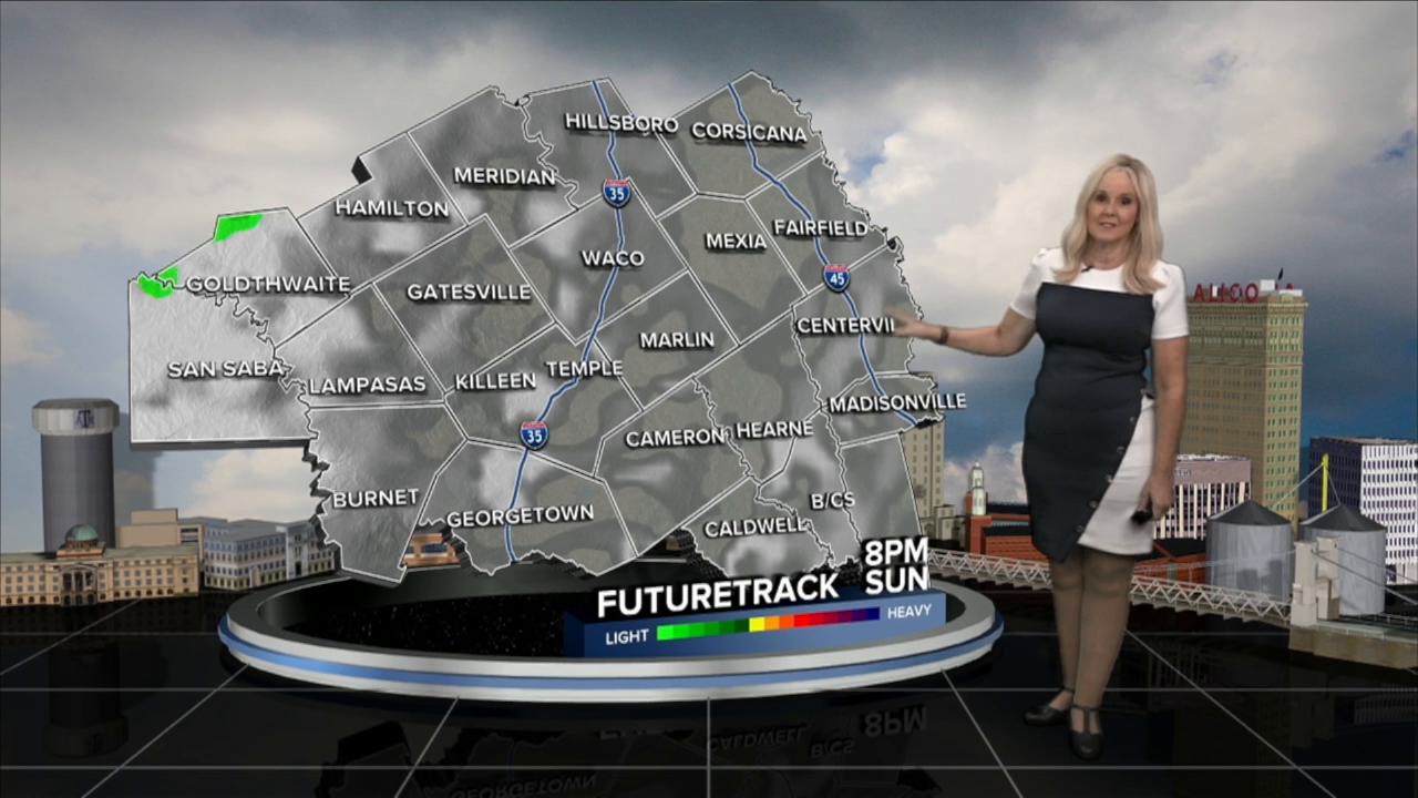


CENTRAL TEXAS — High pressure and the heat dome remain the dominant weather influence. Peak temperatures should hang out right at the triple digit threshold from Friday to Monday. Today will be a little humid with feels like temperatures around 103. A large plume of dry air moves into Central Texas and the Brazos Valley on Saturday and hangs out through Sunday. This lack of moisture in the atmosphere will really drop the dew points on Saturday, bringing down the heat index near the air temperatures. The humidity begins its return on Monday, as a frontal boundary dips further to the south and approaches Central Texas. This system could bring us some much needed rain beginning late Monday at 20%. Our best chance is at 30% for Tuesday. Then back to 20% for a few storms lingering into Wednesday morning. The models are being fickle with timing and the amount of precipitation. Many of us will not receive any rain. Fortunately, the temperatures will take a small dip behind the boundary, so we will see a tiny relief from the heat. However, with the increase in humidity, temperatures in the upper 90s will still feel a few degrees above 100 next week.
If we hit 100 degrees, like we did Thursday. We will tie the record from 1977 for the daily high. Yesterday we reached 100.9, just tying the high from 1997 of 100.
Want this forecast delivered to your inbox each morning? Sign up for the daily forecast email newsletter here.
