

CENTRAL TEXAS — Enjoy the morning commute Central Texans, because you may be driving through intense wind and wet weather on the way home from work. Aside from the Brazos Valley and some areas east of I-35 receiving light rain due to a system to the south, it's a mostly quiet morning.
Today's cold front is expected to break through Central Texas starting in our northern and eastern counties. Some rain will arrive around lunchtime, then by mid afternoon the line of storms will begin making its way through.
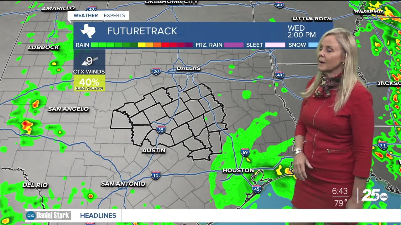
The models are showing a split in the line, with the western side of I-35 staying mostly dry in the afternoon. Then the line of storms links back up in the evening. What this means is some areas of Central Texas may remain mostly dry in the afternoon, especially on the west side of I-35, then the front brings storms to those areas late.
The front will be entering from the north and making its way south. Therefore, the Brazos Valley should experience the stormy conditions much later in the afternoon and into the evening.
The severe weather opportunity has been raised a notch to the moderate category. We could experience some severe thunderstorms with the biggest threat being wind and some flooding. The most intense storms could bring 60mph winds. I've placed the potential for flooding at creeks or puddling on streets at a 4 out of 10.
Most areas of Central Texas will see rain but a few pockets may miss the brunt of the lines. One positive side to this cold front is temperatures will cool down for a few days. Also, after the front passes an active wet weather pattern continues through the weekend. The additional rain could act as a drought buster which is exactly what our area needs before heading into the summer. Everyday this week has at least some opportunity for rain. High temperatures will dip to the upper 70s to low 80s for a few days, then remain in the 80s through Memorial Day weekend.
Want this forecast delivered to your inbox each morning? Sign up for the daily forecast email newsletter here.
