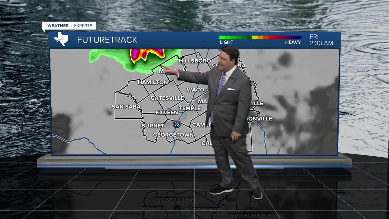


25 EVENING WEATHER — A cold front will move into areas near I-20 tonight. This will likely initiate a few storms to our northwest. The question is...do these actually make it into Central Texas? Some models say a complex of storms will roll through after midnight, while others are almost completely dry. I do think a few storms will get into areas northwest of Waco, Temple, Killeen. Gusty winds and locally heavy rain would be the main threats. Any storms should weaken as they move closer to I-35. East and southeastern counties may not see much at all. Lows will be in the 70s in the morning.
Friday's storm chance all depend on what happens tonight. If we don't see many storms, scattered storms would be possible in the afternoon. If storms are more widespread in the morning, then we would not see that many in the afternoon. No matter what, it should be hot and humid with highs in the low 90s and feels like temperatures around 100°. This is less hot than Thursday, but still quite warm!
Saturday, a few storms are possible, but rain chances are only 30%. Highs will be in the low to mid 90s. Father's Day Sunday looks a bit hotter with very low rain chances. Highs will be in the mid 90s, but it will feel like it's over 100° in the afternoon with the humidity.
Want this forecast delivered to your inbox each morning? Sign up for the daily forecast email newsletter here.
