



CENTRAL TEXAS — Warm and humid weather leads us into early November. Temperatures are topping out in the mid-80s for the first couple of days before a strong cold front passes through early Tuesday morning.
High temperatures Monday will be in the mid-80s, and could push 88 degrees around the Brazos Valley. Plenty warm, humid, and windy. Wind gusts will rise to 30-35mph later in the day and evening. That will lead us into the cold front and thunderstorm part of the forecast for Tuesday...
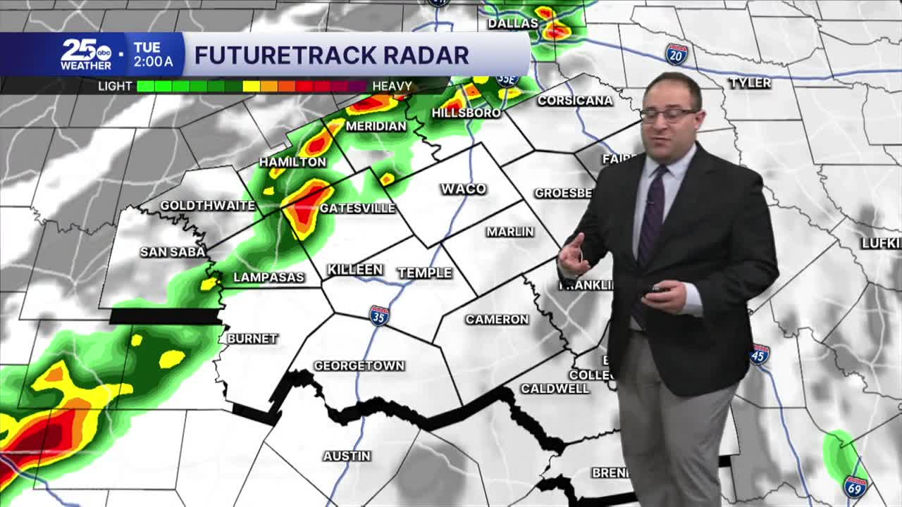
The storm that's developing over the Four Corners states today will fully develop by Monday and Tuesday. The cold front that will drop through Central Texas super-early Tuesday morning will bring scattered thunderstorms along it, some of which could be strong or severe. Granted... the main severe weather risk will be around the Red River Valley Monday evening and by the time the cold front arrives in Central Texas, it'll be past midnight and thus the severity will be significantly down. So the Severe Weather Risk is LOW but not-nothing. Wind gusts up to 60mph possible with the strongest thunderstorms and the tornado risk is exceedingly small.
Timing: Our northwestern communities near Meridian and Hamilton will see these storms around midnight (monday night - tuesday morning). Waco, Temple, and Killeen will get storms around 3-7am Tuesday. The Brazos Valley will get the storms around 7-11am Tuesday morning. Once the storms exit after 12pm, the remainder of the day will be windy and comfortable with high temperatures in the mid 70s minus the humidity. Wind gusts will swap from the south to the northwest and gusts around 20-30 mph.
The rest of the week will be comfortable with highs in the mid- to upper- 70s, low humidity, and no rain.
- 25 News Meteorologist Thomas Patrick
Want this forecast delivered to your inbox each morning? Sign up for the daily forecast email newsletter here.
