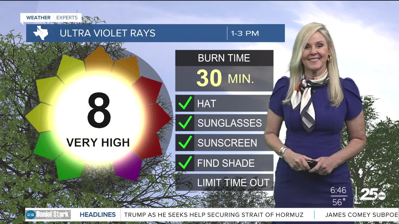


CENTRAL TEXAS — Dry weather and above-normal temperatures will persist through the weekend, bringing unseasonable heat and the opportunity for record-breaking temperatures. The calm weather, clear skies and heat are driven by surface high pressure and ridging aloft.
The strengthening mid-to-upper-level ridge dominating the southwest United States will bring hotter conditions today through Sunday as it sneaks eastward. Afternoon temperatures are expected to land 20 degrees above normal, reaching the lower 90s. This could result in the first 90-degree days of the year for Central Texas.
The ridge is expected to flatten early next week as systems track north of the area. A weak cold front will push toward southeast Texas on Monday. The front will likely stall around or just north of the area, but rain remains highly unlikely.
This morning, the Brazos Valley will be slightly cooler with higher dew points than the rest of Central Texas. Those temps and dew points will meet up and fog will develop in the area after 6 a.m. The fog and visibility should improve after 8 a.m. Low temperatures this morning are in the 50s and 60s for both Central Texas and the Brazos Valley.
Maximum temperatures will decrease slightly early next week, remaining in the 80s during the afternoon. Temperatures could rise again near the end of the work week as the ridge aloft strengthens, bringing the possibility of isolated lower 90s. Overall, warm conditions and slim rain chances are expected through the entire forecast period. A strong cold front will arrive later in the week that will lower temperatures heading into next weekend.
This story was reported on-air by a Meteorologist and has been converted to this platform with the assistance of AI. Our editorial team verifies all reporting on all platforms for fairness and accuracy.
Want this forecast delivered to your inbox each morning? Sign up for the daily forecast email newsletter here.
