



CENTRAL TEXAS — Here we are again... hot in September. We hit 99 degrees on Tuesday and I believe we will see a repeat today. The feels-like temperature should reach 103 degrees with dew points in the upper 60s.
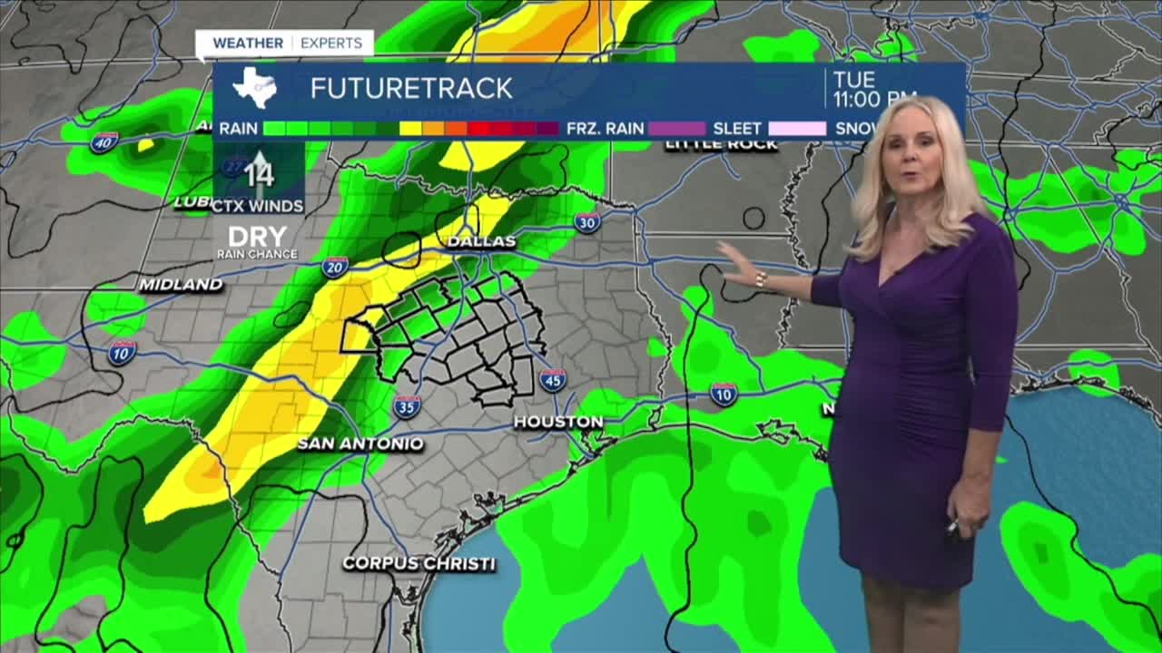
High temps should remain in the upper 90s for the next several days. However, a couple positive influences will bring a "little" relief from this heat. There is a small chance of a few isolated afternoon storms in Central Texas and the Brazos this afternoon. Models are showing the I-35 corridor having the best opportunity. The other factor is humidity will take a dive on Thursday. The dip in dew points will take down the feels-like temperature a few degrees, making Thursday and Friday feel slightly more comfortable.
The next best rain chance will be Sunday when a boundary comes near our area. We have the forecast at 30%. Temperatures will continue to stay well above the normal high (the upper 80s) over the next ten days. But with a potential front trying to enter Central Texas next week, we could see a shift from the upper 90s to the lower 90s by the end of next week.
In the tropics, a new disturbance off the coast of Africa has a 20% chance of developing into a tropical system in the next two days and a 40% chance in seven. Switching gears to the Pacific Ocean, we will continue to keep a close eye on Hurricane Polo. Polo is a very powerful category four hurricane with sustained winds of 155 mph and a low pressure of 918 mb, after dipping just below its previous category five status. Polo is creeping off the southern west coast of Mexico at just 2 mph, moving north just outside the coastline. Polo is expected to weaken to a category two hurricane when it nears the Baja California peninsula next week. We will keep a strong eye on Polo as tropical systems in this area of the Pacific can sometimes tap into moisture closer to our area and bring some nasty weather to Central Texas. The threat is not currently there, but this time of the year is when we keep a keen eye on the eastern Pacific as well as the Atlantic and Gulf.
Want this forecast delivered to your inbox each morning? Sign up for the daily forecast email newsletter here.
