



CENTRAL TEXAS — If there were an opening weather movie this week, it would be titled, "The Return of Humidity!"
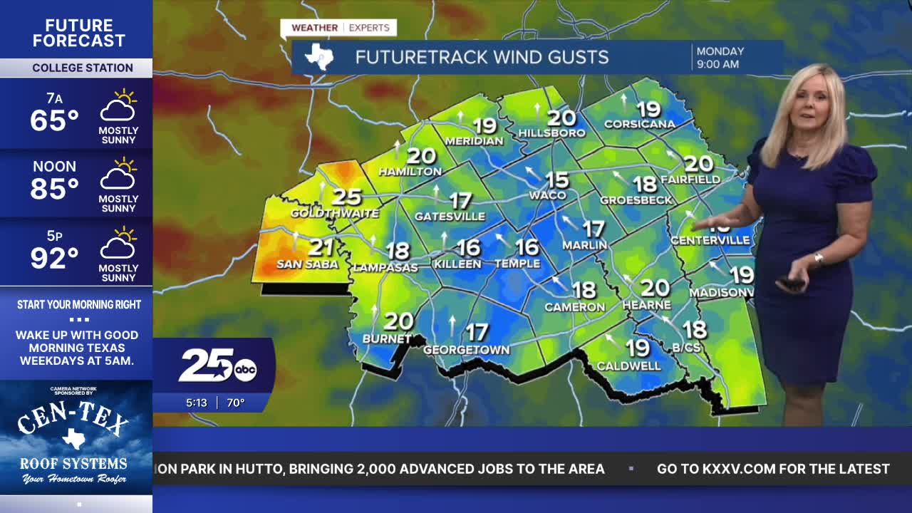
This week will feel markedly different as we move from comfortable, dry air to very humid conditions. A strong sea breeze will help filter in moisture and kick up dew points to the low 70s. That will make for a nice breeze with gusts between 20 and 25 mph. The downside is it will feel very humid. Today's high hits the low 90s but the feels-like temperature will hover around 98 degrees. After today, it will feel around 100 degrees through Wednesday. Morning lows will remain in the 70s.
Humidity sticks around Thursday but eventually gets pushed out with a fall cold front. The exact timing and location of the front is not set in stone, but the models are pulling the majority of rain slightly west of Central Texas on Thursday. If that setup remains, it will greatly decrease the opportunity for rain in the Brazos Valley on Thursday, and limit precipitation to the northwest side of Central Texas. The front may not provide much rain, but it will be an effective temperature dropper.
The work week will be hot and humid, but you can look forward to a beautiful weekend with drier air behind the front. Highs will be in the 70s and lows will dip down to the 50s. This will create fresh and chilly fall mornings with cool weekend afternoons. We just have to get through the next few days of heat and humidity.
Want this forecast delivered to your inbox each morning? Sign up for the daily forecast email newsletter here.
