

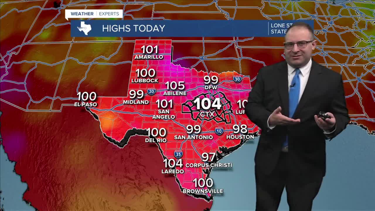


CENTRAL TEXAS — Somehow... it keeps getting hotter in Central Texas. Highs hit 104 today, marking the 19th day in a row at 100 and above.
A cold front that pushed into North Texas today, offered slightly lower temperatures from Dallas to Oklahoma City, with more cloud coverage in that region due to morning rain and storms. But the afternoon thunderstorms have largely been over East Texas and Louisiana, leaving our region among some of the hottest locations state-wide.
The remnants of the cold front could linger on Saturday and as such could create a pop-up scattered shower or thunderstorm. Don't expect a lot, but someone might get lucky with a moment of rain during the later-afternoon hours. But high temperatures will still be near 104 degrees with another day of Heat Advisories in place. Sunday will be around 105 with any chance for rain gone.
The rest of the month is going to remain at 101 to 105 degrees. This could push our 100-degree streak to 30 days in a row which would be a top-5 longest streak all time for Waco.
- 25 News Meteorologist Thomas Patrick
Want this forecast delivered to your inbox each morning? Sign up for the daily forecast email newsletter here.
