

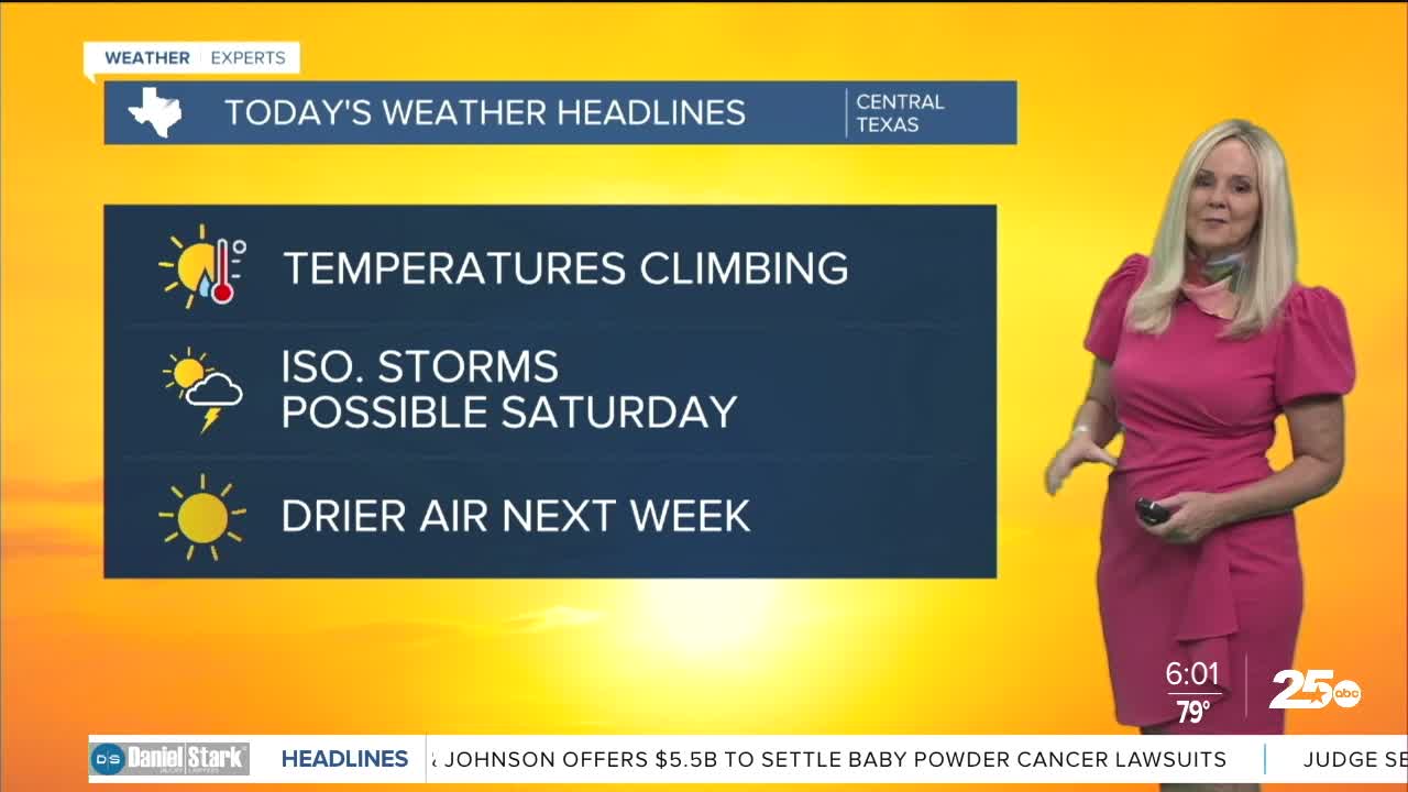


CENTRAL TEXAS — Once again most of Central Texas is under a heat advisory. Counties under the advisory include: Bell, Falls, McLennan, Bosque, Limestone, Leon, Milam, Navarro, Hill and Robertson until 8 p.m. Feels-like temperatures will run between 105 and 108 degrees this afternoon. Which translates to "stay hydrated" and take breaks if you are working outdoors.
The Brazos Valley is not included included in the heat advisory today. The air temperatures will run in the upper 90s in the Brazos Valley, but keep in mind there is more humidity in that area than Central Texas. Dew points should peak in the low 70s in Central Texas, whereas the Brazos will reach the mid 70s. That is enough of a difference to push the heat index up to 105 degrees or more for the Brazos Valley. So despite the lack of a heat advisory, residents should still be cautious of the heat and stay hydrated.
Temperatures are on the climb as we move toward the weekend. By Saturday, Waco should hit 104 degrees with a feels like temperature reaching around 108. This could trigger an extreme heat warning. Just how hot we get will depend on the proximity and arrival of an approach cold front on Saturday.
We will have some compressional heating that will help raise temperatures on Saturday. The denser colder air will compress the warmer air ahead of it, temporarily spiking up the temperature. But we also have the opportunity for rain, which will help cool us down. This is a weak front, so it won't do much to lower temperatures too much.
On Sunday and Monday we will likely drop to the upper 90s. At this point any relief from this heat is a positive reaction. Also, behind this front, a mass of drier air will move into the area which will drop our humidity. So it will feel a bit more comfortable as we kick off the work week.
Want this forecast delivered to your inbox each morning? Sign up for the daily forecast email newsletter here.
