

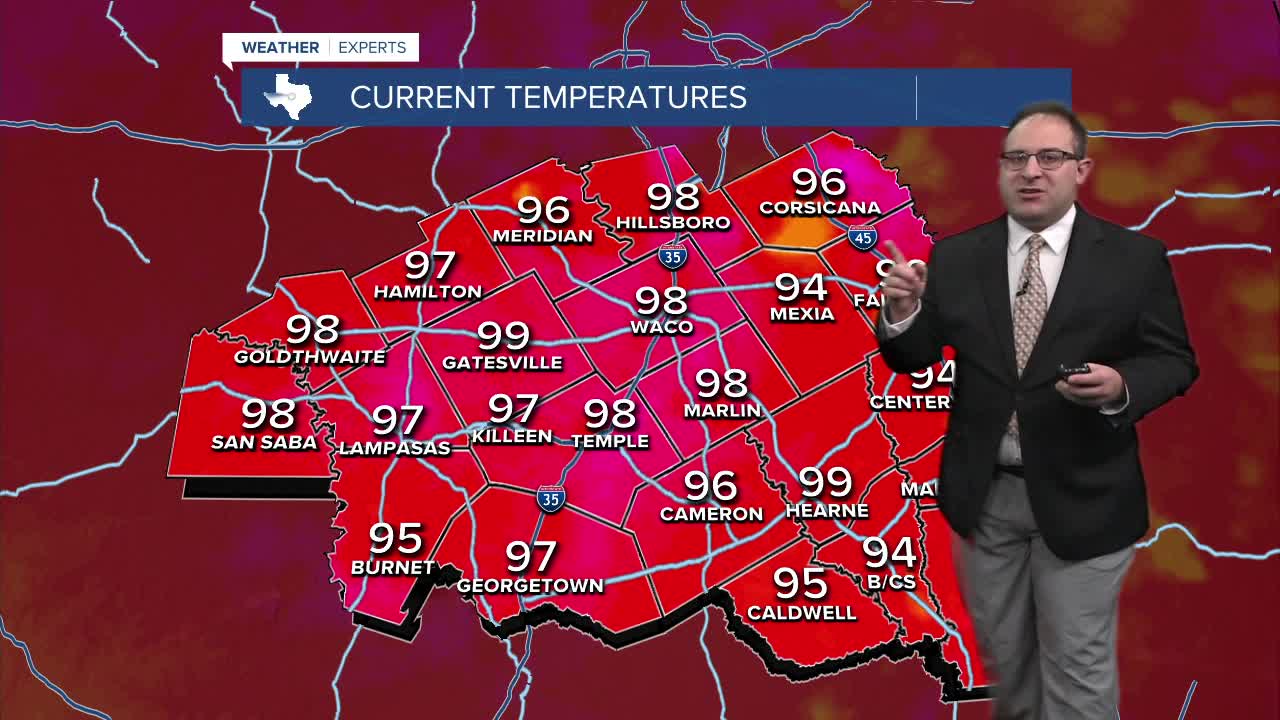


CENTRAL TEXAS — Temperatures are starting to hit 100 degrees for the first time this summer. As of 4pm, Gatesville and Hillsboro have hit 100 degrees, meanwhile Waco stands at 99. With no storms, rain, or even clouds it's no surprise temps are rising to that 100 degree mark for one of the first times this year. This is at least the 4th time this month hitting 99 in Waco, and we'll see if the official high goes down at 100 after the 6 o'clock update.
Thursday's weather will be nearly identical to today. Upper 90s or low 100s, mostly sunny skies. Friday is also looking to be upper 90s.
Then we get some storm chances starting Saturday. At first, it's just very high humidity and instability that'll result in pop-up scattered thunderstorms (20% chance) in the afternoon for Saturday and Sunday. Then a wave or possibly weak cold front will focus rain and storms for Monday and Tuesday in Central Texas. That has bumped up rain chances to 30-50% per day! A brief moment of some heat relief too, with highs in the low-90s or upper 80s.
Wednesday next week to the following weekend will see a new Heat Dome develop over the Central Plains. This is partially the reason why we could get some rain, as we'll be on that ring-of-fire edge of the high pressure region. It doesn't appear we'll be directly underneath the heat dome, so for now I'll continue with more standard-heat levels in the upper 90s.
- 25 News Meteorologist Thomas Patrick
Want this forecast delivered to your inbox each morning? Sign up for the daily forecast email newsletter here.
