



Another chilly morning with a few temperature readings in the upper 30s in Central Texas, like out of Gatesville, for the second straight day. But most will start in the low 40s before climbing to around 70 degrees this Wednesday afternoon. Mostly sunny all day long with a few high clouds drifting past.
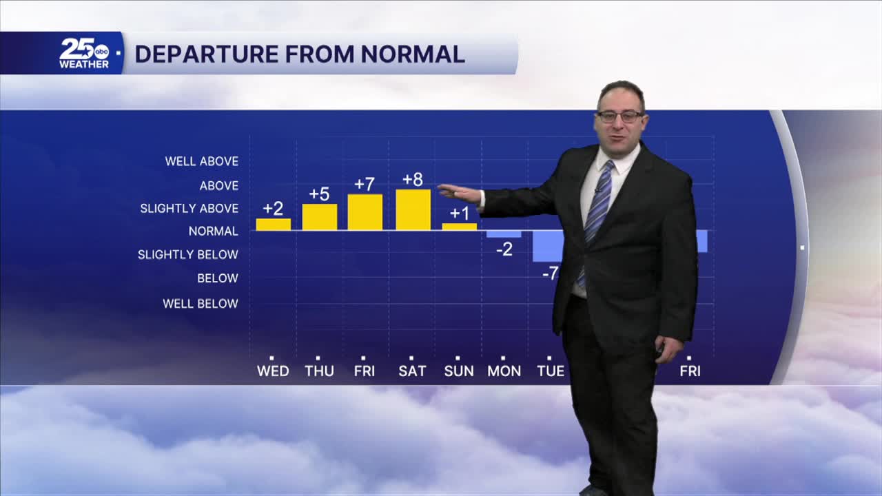
Central Texas will get the benefits of a warming trend for the rest of the week. That goes for both the highs as well as the lows. High temps climb to the mid- 70s for Thursday through Saturday. Meanwhile, low temps will even stabilize in the 50s for the next couple of nights.
Next week's rain chances have dropped slightly due to inconsistency in the weather modeling of our upcoming storm systems and cold fronts. The first cold front will pass through Sunday morning. There may be a few light showers, but nothing more. This will drop temps to the 60s. The second storm and cold front on Tuesday nearly disappeared from the weather modeling and left the forecast highly uncertain about what rain chances look like for that day. The temperature trend still appears to drop into the 50s, so I'll keep the rain chances around 40%. Long-range forecasts like this can be volatile, so if you're trying to plan something outdoors around that day, it's worth checking the forecast day-by-day as we get closer.
- 25 News Meteorologist Thomas Patrick
Want this forecast delivered to your inbox each morning? Sign up for the daily forecast email newsletter here.
