

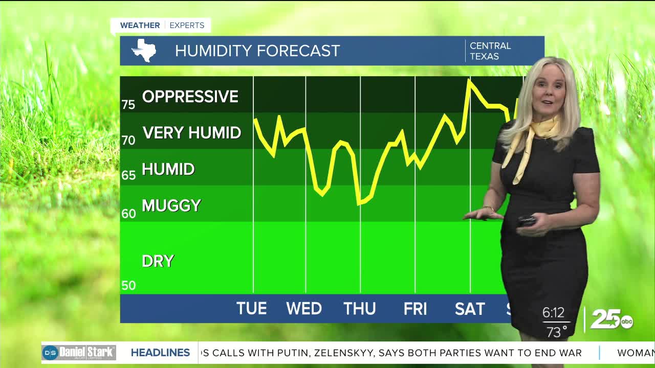


CENTRAL TEXAS — Another hot and humid day for Central Texans. A mixture of clouds and sunshine is on tap for the skies. Winds are relatively normal at around 10mph from the south. But we could experience a few afternoon gusts above 25mph.
As forecasted, a few thunderstorms graced Mills and San Saba counties yesterday. We have anther opportunity for a pop-up storm or two today, but the hot spots could be Burnett county or our north or eastern counties of Central Texas. I have a 20% coverage in my forecast. If you do manage to be where a storm pops up, it will act as a refresher from the heat and will be over relatively quickly.
High temperatures will remain mostly in the mid to upper 90s all week in Central Texas. Today will feel around 102 degrees. The Brazos Valley is dealing with additional moisture from the Gulf and higher dew points. So despite lower air temperatures the Brazos Valley will feel close to 105 degrees at the peak heating time this afternoon. Humidity drops briefly on Wednesday and Thursday but air temperatures come close to hitting the triple digits.
Rain chances bump up heading into Saturday and could push into Sunday or Monday. At this point I have a 30% rain chance for Saturday and 20% for Sunday and Monday.
Want this forecast delivered to your inbox each morning? Sign up for the daily forecast email newsletter here.
