

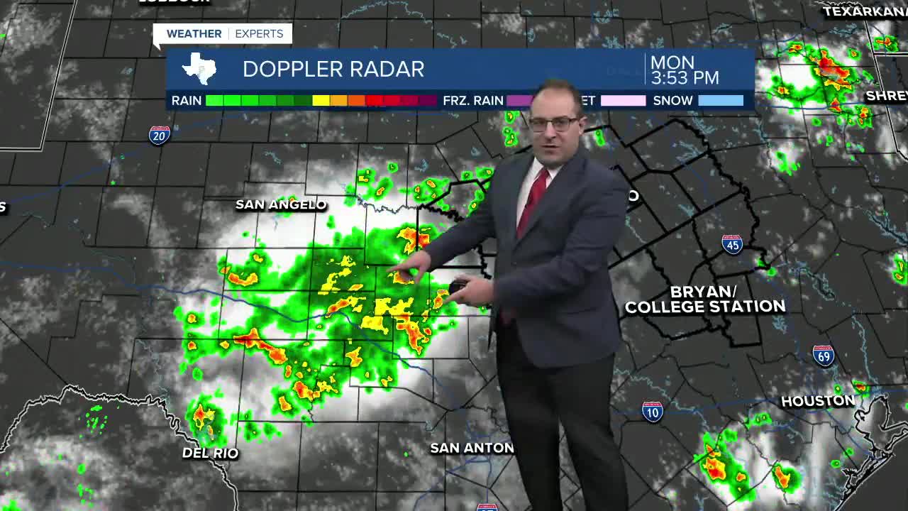


CENTRAL TEXAS — Focus today has been on a cluster of thunderstorms that popped up between Kerrville and San Angelo... just west of our viewing area. Those storms started to produce outflow boundaries in each direction where new storms are starting to form. As of 4pm, locations near San Saba to Hamilton started to see thunderstorms in the vicinity. These storms could drop a large amount of rain in a short period of time, so we'll monitor for any flooding issues.
Any storms today should fade out after sunset, which is 8:37pm.
Another chance for pop-up summer thunderstorms Tuesday. Best chances will be around eastern / northeastern areas of Central Texas.
Then we're back to the high heat. Temps hit 99 degrees both weekend days, marking the hottest so far this summer. By this point, you know the drill... so long as the grass is green (which it still is) temperatures will likely stay below 100 degrees. I'll continue to honor that this week with highs in the upper 90s most days. If anything, Thursday would be the day to look for the first 100 degree day, as some models go as hot as 104 for Waco, which is clearly too high, but this is the outright highest I've seen out of the computer models thus far!
- 25 News Meteorologist Thomas Patrick
Want this forecast delivered to your inbox each morning? Sign up for the daily forecast email newsletter here.
