

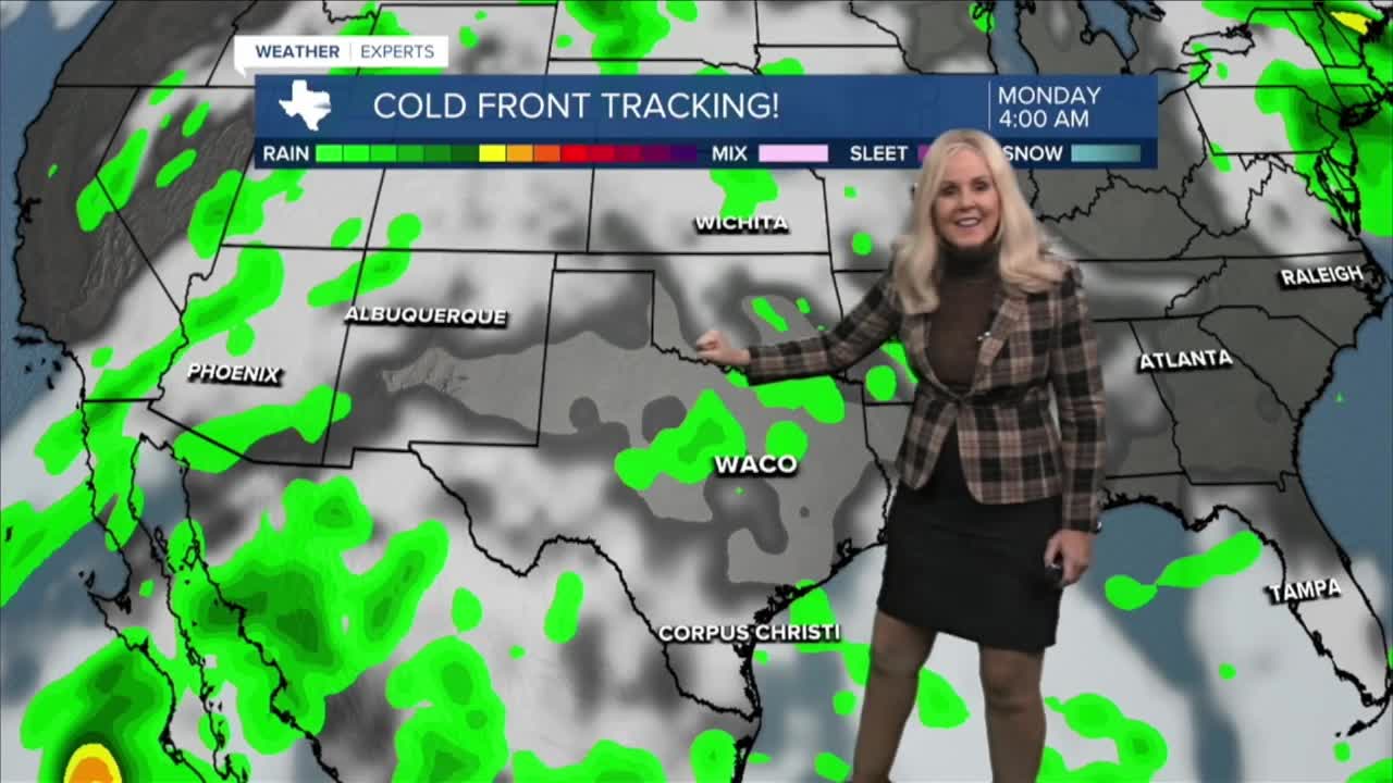


CENTRAL TEXAS — Central Texans have a few more days of feeling like summer then big changes arrive mid week. Today through Wednesday the high temperatures will remain well above average in the mid to upper 90s and it will be mostly cloudy this afternoon. It will feel-like 100 degrees today and tomorrow thanks to the humidity, but at least the air temperature will rest in the 90s. There is a 20% chance of pop-up showers this afternoon, and Tuesday looks to be drier.
However, by mid-week big changes arrive. A low pressure system will bring a cold front to Central Texas by the end of the week. At this point its looking like rain will begin late Wednesday with our heaviest downpours arriving Thursday and Friday. One to three inches of rain is expected with isolated areas possibly receiving 4 to 7. On Thursday and Friday there is a 40% chance of excessive rain which means we could see some flooding. This front will be mixing with rich, deep, tropical moisture courtesy of what is now Hurricane Polo. Polo will weaken after making landfall in Baja California, Mexico, then move into northern Mexico on Tuesday as a post tropical storm.
Want this forecast delivered to your inbox each morning? Sign up for the daily forecast email newsletter here.
