

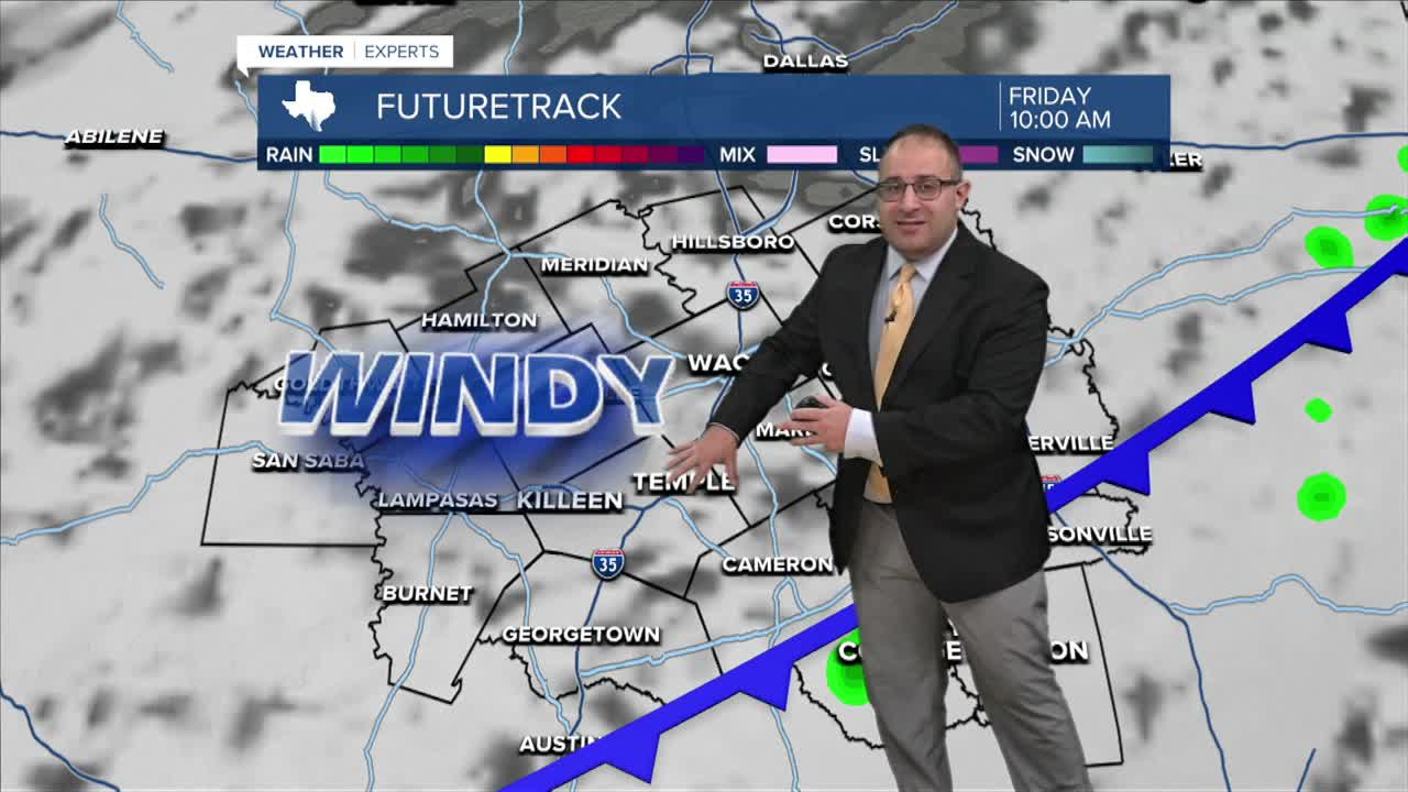


CENTRAL TEXAS — The summer heat and humidity have popped a few summer-like showers and thunderstorms this afternoon. Most of the action has been roughly east of I-35, with a few locations in Bell and McLennan County getting a brief soaking rainfall.
Heat and humidity stays in tact for one more day, highs around 90 degrees Thursday with muggy humidity levels.
Then the cold front is quickly upon us. The front will race through shortly after midnight, early Friday morning. Light rain is possible, but the focus is far more on the high winds and colder temperatures. Wind gusts will be around 30-40 mph all day long with temperatures plunging to the lower 70s... that's the high temperature on Friday. Fire danger will be high to very high on Friday due to the strong northerly winds.
Speaking of temperatures, it doesn't stop there. The high Saturday will be upper- 60s! And the low temperatures will dip into the 40s for Friday night and Saturday night. Autumn is here (at least for a weekend).
- 25 News Meteorologist Thomas Patrick
Want this forecast delivered to your inbox each morning? Sign up for the daily forecast email newsletter here.
