



CENTRAL TEXAS — Temperatures continue to hit upper 90s throughout Central Texas. But a bit of relief in the form of rain and storms entered our northeastern areas thanks to a cluster of storms that formed over Tyler and moved westward through Corsicana, dropping temperatures into the 70s temporarily. Unfortunately, the storms are fizzling out as they move west past I-45. Any pop-up storms will be gone by 9pm anyways.
Forecast high temperatures will stay in the upper 90s Wednesday through Friday. No rain or storms expected.
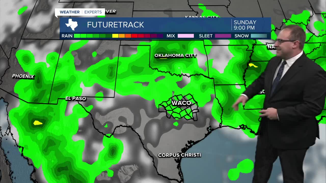
Over the weekend, the weather pattern over Central Texas will be marginally unsettled. No proper storm systems to give us widespread rain, but no stable high pressure regions to suppress storms completely. This means we'll likely get isolated thunderstorms to pop-up each afternoon from Saturday through Wednesday of next week, with probabilities of rain around 20-30% per day.
After that, a large Heat Dome will take shape and strengthen int he Central Plains around July 14-17th. Central Texas is again not quite directly underneath it, so temperatures will just be standard-hot for us, upper 90s and possibly 100 degrees with dry, mostly sunny days.
- 25 News Meteorologist Thomas Patrick
Want this forecast delivered to your inbox each morning? Sign up for the daily forecast email newsletter here.
