

25 EVENING WEATHER — A cap has been over Central Texas Friday, and that will likely continue into tonight. However, we may see some weakening of the cap across the northern half of Central Texas. If a storm or two breaks the cap, then some severe weather would be possible. All modes of severe weather would be possible, but any storms should remain isolated at best. Everything should be out of here after 10pm with lows in the upper 60s and low 70s.
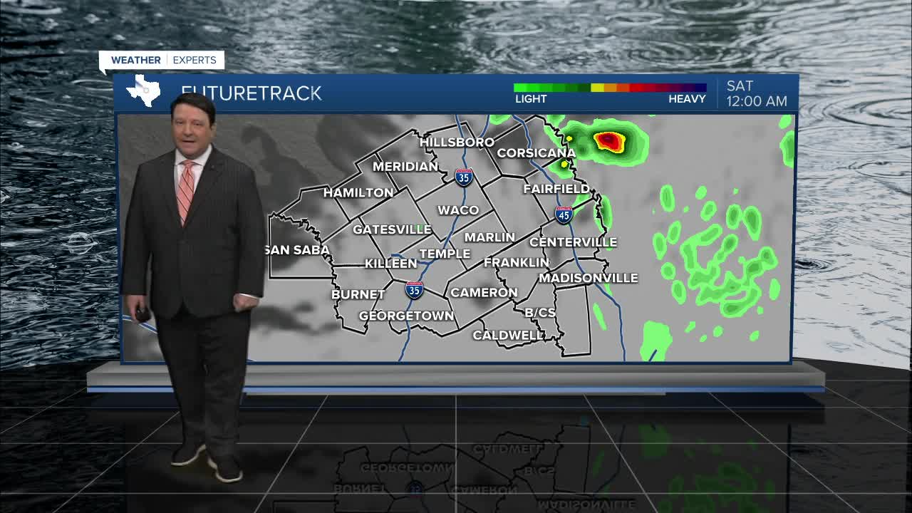
Saturday is shaping up to be a stormy day. We may see a few storms as early as sunrise across our northwestern counties, but we should see an increase in activity by mid to late morning on into the afternoon as the cold front moves across Central Texas. A few storms could be severe with large hail and strong winds in a few locations. Locally heavy rain is also possible. Highs in the 70s will likely occur around lunchtime, with falling temperatures into the 60s and 50s behind the front. The Brazos Valley will see highs around 80° since the front will not reach you until late Saturday afternoon. Showers and a few storms will continue Saturday night into Sunday morning. We should see a general decrease in rain activity through the day Sunday. Highs Sunday afternoon will be around 70°. Rain totals around an inch are likely this weekend, with some locally higher totals possible.
Next week, we may see a lull in the stormy weather Monday, but rain and storm chances will likely be back Tuesday afternoon through Wednesday. Locally heavy rain will be possible, and we could see a few stronger storms as well.
Have a good weekend!
Want this forecast delivered to your inbox each morning? Sign up for the daily forecast email newsletter here.
