

25 EVENING WEATHER — A cold front is likely to stall just north of Central Texas tonight. We may see and isolated storm or two as we head into Wednesday, but most of us will remain dry. It will feel like fall across Oklahoma, so if you want cooler air, head north. For us, it will just be hot with highs in the mid 90s Wednesday afternoon. Thursday will continue to be hot with highs in the upper 90s.
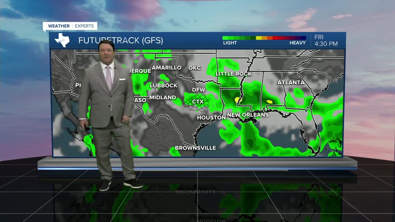
Our front will start to surge south as we head toward the weekend. I think most of the day Friday will be spent ahead of the front, so get ready for more heat with highs in the mid 90s. Friday evening, scattered showers and storms are possible as the front moves through the region. This could have an impact on Friday night football and the Baylor game. We will continue to track this part of the forecast closely.
The weekend should bring some slightly cooler air behind our cold front. We are forecasting highs in the upper 80s as of now, but if it stays mostly cloudy, it could be cooler. Scattered showers and storms are possible both Saturday and Sunday with the front draped just south of the region. Hopefully this cooler trend will hold!
