

25 EVENING WEATHER — A weak disturbance will move out of the Gulf and into Texas Thursday and Friday. Right now it appears that moisture will be too scarce for showers and storms, so an increase in cloud cover is all we will likely notice. The exception could be down in the Brazos Valley, where a few isolated showers and storms could move in Friday afternoon. Highs still look warm in the upper 80s to near 90°.
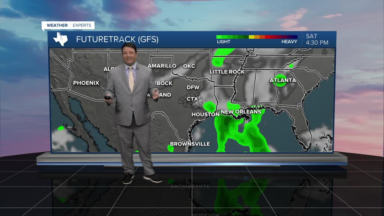
A front will move through Saturday. Right now it looks like most of the significant storm activity will be north and east of Central Texas. A couple of isolated storms could occur, but dry southwest and west winds should allow for temperatures to spike in to the low to mid 90s Saturday afternoon. Sunday should be slightly cooler, with highs in the upper 80s as north winds bring slightly cooler air into the region.
Next week is still back and forth on the models. Right now we will have temperatures falling from the low 90s Monday into the mid to upper 80s for the rest of the week. There is a chance it could be cooler, but there is also a chance it could be a bit warmer than forecast. It's all about the front and where is stalls. Stay tuned!
