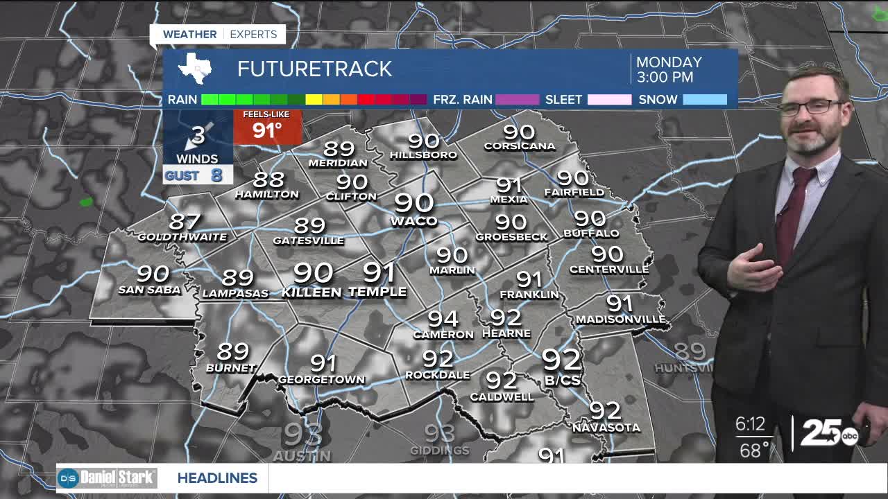


CENTRAL TEXAS — Highs will climb into the low 90s this afternoon under partly cloudy skies. We're tracking a weak cold front for the middle of the week that could bring small rain chances.
THE BREAKDOWN:
- Highs will stay in the low 90s to start the week.
- Small rain chance arrives with *very* weak cold front.
- Biggest changes will be slightly cooler mornings.
Good morning! We're seeing a nice start to your Monday with morning lows in the upper 60s. Much like yesterday, we're going to see that give way to afternoon highs in the low 90s. The warmer than normal temperatures will continue this week, though there is a small change coming. A weak cold front will wash out over our area Tuesday into Wednesday, which will be enough to bring a small chance of isolated showers or a stray storm. Many of you will miss out. The biggest change will be in the mornings, where morning lows may fall into the mid 60s. Afternoon highs will drop below 90 for Wednesday and Thursday. They then return to the 90s again for the weekend into next week.
There are some signs we may see a stronger front beyond the 10 day forecast, but any indication is small as of now.
Have a great Monday!
Meteorologist Josh Johns
25 Weather
