

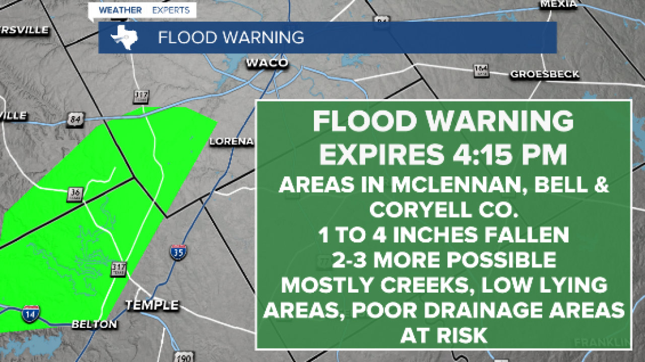


CENTRAL TEXAS — Central Texas continues to get drenched. We are in a moderate to extreme drought so the rain is needed but the flooding is never wanted. Today it is portions of McClennan, Bell and Coryell County that is receiving the majority of rain.
A flood warning is in effect for portions of those counties until 4:15 p.m. this afternoon. One to four inches have fallen and an additional two to three are possible. Friday a storm line stalled out from Burnet to Hill County bringing a few isolated areas over seven inches of radar indicated accumulation. Most areas received between two and four inches.
The good news is at last check at 2:30 p.m. the rain was weakening and lessening.
The main ares at risk are small creeks, streams, and urban areas with low lying terrain including highways, streets, underpasses and other areas with poor drainage. Some locations that could experience flooding include: Temple, Harker Heights, Belton, Mcgregor, Nolanville, Morgan's Point Resort, Moody, Mother Neff State Park, Belton Lake, Oglesby, Whitson, White Hall, Owl Creek, Meadow Grove, The Grove, Moffat, Woodland, Leon Junction And Flat.
Basically, it's best to stay off the roads. And do not drive into any standing water.
As we move into tonight we will continue to have scattered rain across Central Texas, and to a lesser degree on Sunday. Sunday we begin to clear up. Temperatures will begin to climb back to the low 80s. We will begin to dry out Monday with temperatures below average in the 80s, making for a pretty pleasant week after all this rain. It will finally feel like a nice fall afternoon in October.
Want this forecast delivered to your inbox each morning? Sign up for the daily forecast email newsletter here.
