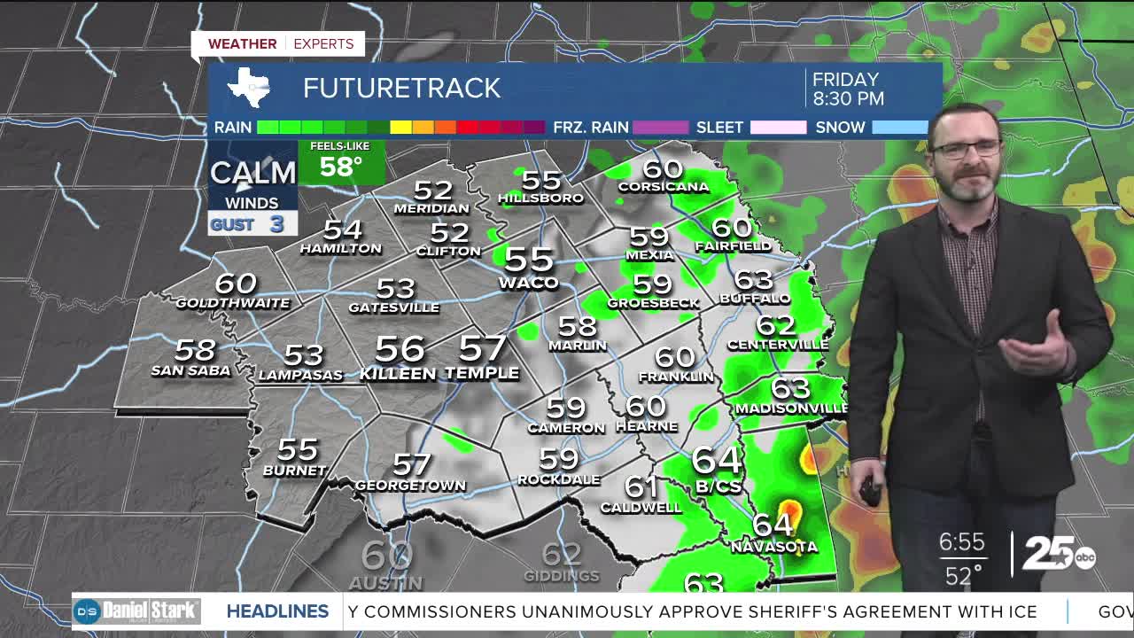


CENTRAL TEXAS — A cold front will work into our area triggering showers and storms by afternoon, especially along and east of I-35. Behind the front, things turn cool for the weekend.
THE BREAKDOWN:
- A few showers and storms will be possible today, especially east of I-35.
- There is a small chance some turn severe, in particular in the Brazos Valley.
- Main threats hail and winds.
- Cooler air works in for the weekend.
Good morning! Today will bring the first rain chances we have seen in quite a while in Central Texas! A cold front will catch up to a stationary front over our area later today. This should be enough to trigger showers and storms later this afternoon, especially along and east of I-35. Some of these could turn strong to severe if they move into warmer air that will be in place across mainly the Brazos Valley. This could provide enough energy to bring small hail and damaging winds. An isolated tornado can't be ruled out, but that will be more possible east of I-45 and into East Texas.
Behind the front, colder air quickly works in by morning dropping temperatures into the 40s. Despite relatively sunny skies expected Saturday, highs will only make it into the mid 50s. Once winds relax overnight, we could see a light freeze Sunday morning with 60s Sunday and another light freeze possible Monday.
Temperatures will slowly warm into the mid 60s next week, but we're watching the potential for a stronger cold front next weekend that could bring the chill back along with rain chances. Stay tuned!
Have a great Friday!
Meteorologist Josh Johns
25 Weather
Want this forecast delivered to your inbox each morning? Sign up for the daily forecast email newsletter here.
