

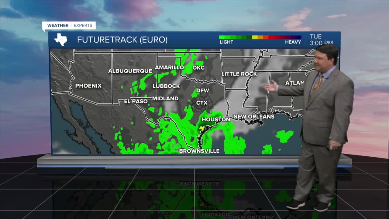


25 EVENING WEATHER — Fall weather lovers, I know you are being patient, but it appears the low 80s will continue Wednesday into Thursday. Clouds will be on the increase over the next 48 hours, and we may even see a couple of isolated showers around here Wednesday. Our next storm system will get close enough Thursday for areas west of Waco/Temple/Killeen to see a few showers and maybe an isolated thunderstorm. The better rain chances will arrive Friday with highs in the mid 70s. The heaviest rain will be northwest of our area, but on and off showers are likely, especially from I-35 and points to the west. Eastern areas will see some light shower potential Friday.
Of course, everyone wants to know what is going to happen for Halloween. Right now, it looks like it will be mostly cloudy with a few showers here and there from time to time. Hopefully this will taper off as we head into the evening hours with temperatures in the mid to upper 70s. Temperatures will be nice Saturday evening falling through the 70s, but there could be a shower here or there during trick-or-treat time. Again, this won't be a washout, but just more of a nuisance. Sunday looks partly cloudy and warm once again with highs in the low to mid 80s.
Next week, a fall cold front is expected to arrive Monday evening into Tuesday morning. This system could bring a line of showers and storms as it rolls through the region. We will also see highs fall from the 80s back into the 70s, and that's where we should be this time of year!
Want this forecast delivered to your inbox each morning? Sign up for the daily forecast email newsletter here.
