

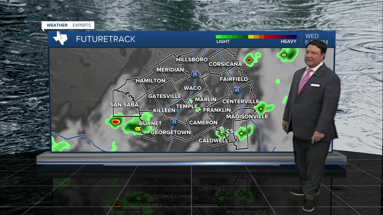


25 EVENING WEATHER — A line of showers and storms will move in from the west this evening. This line could produce winds up to 60mph and locally heavy rain. Storms will weaken as they move east of I-35 tonight with lows in the mid to upper 60s. A few pop-up storms are possible Wednesday afternoon, but rain chances will be lower at 30%. Highs look warm in the low to mid 80s.
Rain chances will continue to go down Thursday through Saturday as it looks right now. A couple of isolated storms are possible in the afternoon, but they should be few and far between. With less storm coverage, temperatures should be higher. Highs Thursday should make it into the upper 80s. Highs around 90° look likely Friday into Saturday. Sunday, a weak cold front get closer to the area, so a few more scattered storms are back in the forecast. Highs still look warm in the upper 80s.
Next week, a cold front will slowly work across Central Texas. Highs in the upper Monday should fall into the low to mid 80s by the middle to end of next week. A few storms are possible Monday and Tuesday as this front slowly slips south across the area.
Want this forecast delivered to your inbox each morning? Sign up for the daily forecast email newsletter here.
