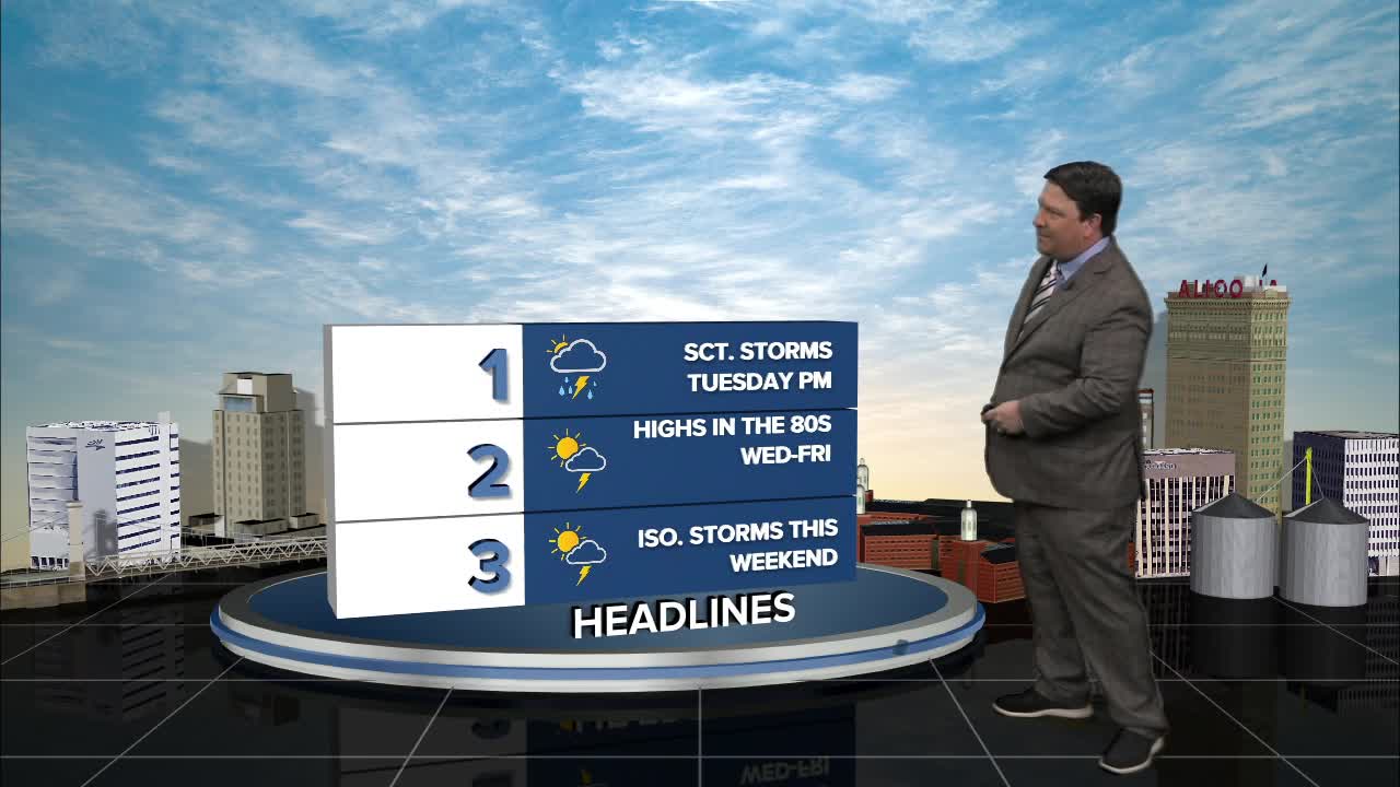


25 EVENING WEATHER — Monday has been rather quiet, but a weak frontal boundary will move closer to Central Texas Tuesday afternoon and evening. This will bring a chance for scattered showers and storms and slightly cooler temperatures. Tonight looks humid with lows in the low 70s. Tuesday, highs will be in the low 90s with those scattered storms developing late in the day. Right now, the severe weather threat looks low, but a few storms could contain gusty winds, small hail, and locally heavy rain.
Wednesday should be more on the quiet side again as the boundary moves south and west of our area. There could be an isolated storm or two with highs in the upper 80s to near 90°.
Thursday, we should have slightly better moisture and instability in place, so scattered storms are back in the forecast. We should be shy of the 90s though with highs expected to top out in the upper 80s. Friday, a few lingering storms are possible with highs in the mid 80s.
The weekend should bring a chance for pop-up storms Saturday and Sunday afternoons with highs in the upper 80s to near 90°.
Want this forecast delivered to your inbox each morning? Sign up for the daily forecast email newsletter here.
