

CENTRAL TEXAS — Wet weather is on the way to Central Texas. A low pressure system originating from the Bajo California area is making its way east. We have already begun to experience sprinkles in a few counties.
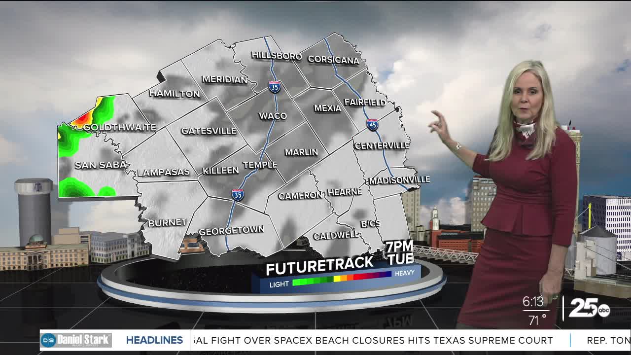
A short wave is expected to bring some rain mostly west of I-35 near lunchtime. As these lines move across Central Texas they will lessen in intensity as they cross into the east side of I-35. There could be a lull in precipitation in the early evening. The brunt of this front arrives overnight and extends into Wednesday morning and possibly into Wednesday afternoon.
All counties in Central Texas have a threat of severe weather development. However, the biggest opportunity for severe weather lies to the far west of Central Texas. This is where most of the intense storms will develop. If any storms can break through the warm layer of air that is acting as a cap on Central Texas, we would see isolated severe weather. Half dollar size hail and winds up to 70 mph would be possible but the threat remains on the lower side. Flash flooding is also a possibility. The opportunity for tornadoes to develop can not be ruled out but remains very low.
As we move into Thursday, skies clear and the temperature cools with highs in the 60s. We warm up for the weekend with highs back in the 80s. The next opportunity for rain returns next week.
Want this forecast delivered to your inbox each morning? Sign up for the daily forecast email newsletter here.
