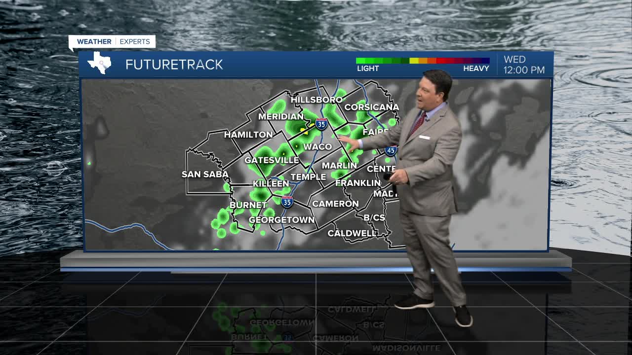


25 EVENING WEATHER — A few scattered showers and storms are likely through this evening. Storms could occur anywhere across Central Texas and the Brazos Valley, but areas west of I-35 will have the best chance. The severe weather threat is very low, but some stronger winds will be possible in the strongest storms. Storm activity should come to an end after midnight with lows in the low 70s. Wednesday will be another day for a few scattered showers and storms. The best chance appears to be across the southern half of the region Wednesday afternoon and evening. It will remain hot and humid outside of any rain areas with highs in the mid 90s.
Any rain chances will come down Thursday into Friday as the heat cranks back up to the mid to upper 90s. This trend of just slight rain chances will likely continue into Saturday. Sunday looks a bit better for scattered showers and storms. Highs both Saturday and Sunday afternoons will be in the mid to upper 90s.
On and off isolated to widely scattered shower and storm chances should continue through a good portion of next week. Highs will be in the mid 90s with lows in the mid to upper 70s.
