

CENTRAL TEXAS — Today felt a bit more pleasant for summer weather, thanks to a minor dip in temps and humidity around Waco and Killeen. Still, temps are flirting with 90 degrees and dew points are around 70, higher to the east especially the Brazos Valley. Should we see any thunderstorms, it'll be the Brazos Valley areas due to the proximity to a stationary front that's near I-10. Houston got thunderstorms that fired up along the Gulf coast, and they're moving northward, but will mostly stall before hitting a large chunk of Central Texas tonight.
Thursday and Friday, scattered afternoon storms will pop up, especially east of I-35 due to the higher humidity. Aside from the random and spotty chance, no severity out of these storms. High temperatures will still be upper 80s.
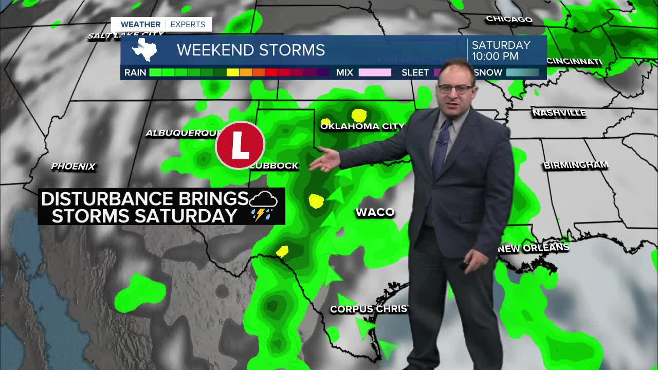
Saturday is likely our most active day weather-wise. With an upper air disturbance coming out of Arizona and New Mexico, a greater scattered thunderstorm coverage is likely Saturday aftenroon and evening for the region. Note that I still say "scattered" and not "widespread", so it'll be hit and miss. But the chance is great enough to want to play around the rain chances Saturday for sure.
Sunday is back to a scattered afternoon pop up thunderstorm or two, and Monday will see the beginning of a quieter weather pattern take hold. Next week will certainly be hotter, with high temperatures in the low to mid 90s each day. Thunderstorm chances are very low, somewhere in the realm of 5% to 20%, and for the most part I have taken the storm icons off the 10-day forecasts. If needed, I'll re-introduce them on a day-to-day basis.
- 25 News Meteorologist Thomas Patrick
Want this forecast delivered to your inbox each morning? Sign up for the daily forecast email newsletter here.
