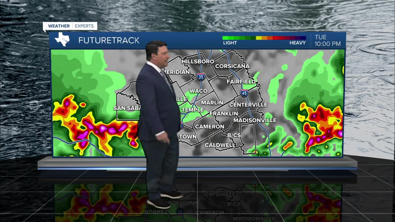


25 EVENING WEATHER — We will continue with scattered shower and storm potential this week on into the holiday weekend. Tonight looks to be partly to mostly cloudy with a few storms moving in from the west and northwest. A couple of these storms could be strong to severe with winds up to 60mph and some isolated hail potential. We should see a general weakening trend after midnight with lows in the upper 60s. Wednesday looks to be a lower end rain day with rain chances at 30%. It will be warm and muggy with highs in the mid 80s.
Rain and storm chances should pick up some Thursday as another disturbance moves over Central Texas. Highs should be a little cooler in the low 80s. Friday is expected to bring another lower chance of rain, but we should pick up again Saturday. Sunday looks like a day with more scattered activity, but we should see a decrease on Memorial Day Monday. I do not expected a rain-out on any given day, but you will have to keep an eye to the sky through the holiday weekend. The main threat for this time period will be locally heavy rain, but a strong storm or two will be possible from time to time. Highs will be in the 80s with lows in the low to mid 70s.
Want this forecast delivered to your inbox each morning? Sign up for the daily forecast email newsletter here.
