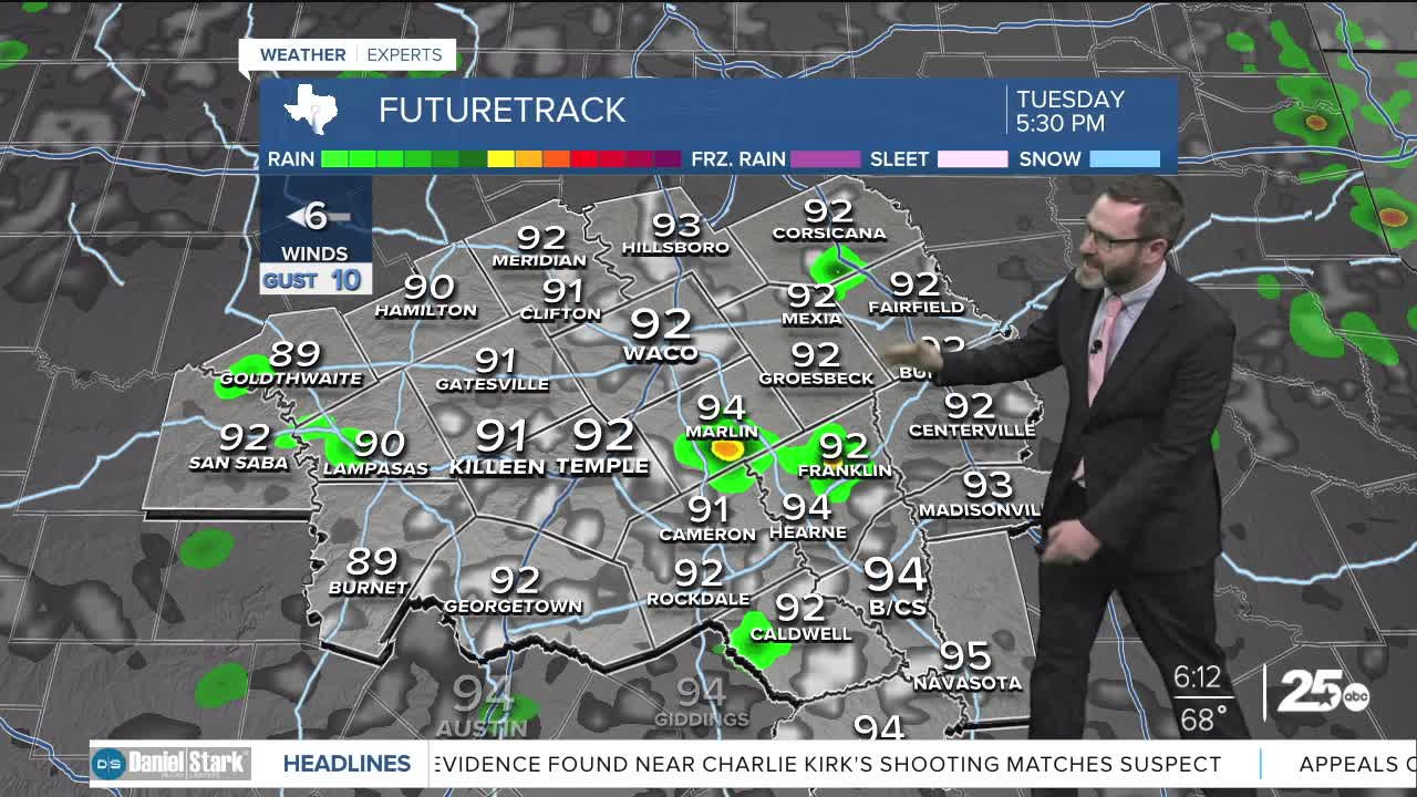


CENTRAL TEXAS — Highs will climb into the mid 90s this afternoon under partly cloudy skies. An isolated shower or two will be possible east of I-35, but most will miss out.
THE BREAKDOWN:
- Small chance of an isolated shower east of I-35 this afternoon.
- Staying warm for this work week.
- Rain chances come up this weekend.
- Uncertainty for the first week of fall.
Good morning! Some of us saw a couple downpours yesterday, in particular east of I-35. It's not out of the question that some could form again this afternoon, but activity will be isolated, so most will miss out. Otherwise, expect highs to climb into the low to mid 90s this afternoon.
Expect things to stay warm this week with highs in the mid 90s.
This weekend is when we could see some changes in the forecast. We are expecting high pressure to breakdown, leading to small rain chances and dipping temperatures just a couple of degrees. Heading into next week, there is a lot of disagreement in the models. Some develop a dip in the jet stream which could bring cooler air for the first week of fall. The other models say we stay warm with high pressure sticking around. For now, it's too early to tell, but if they can start agreeing on a dip, we could see our first look at fall. Stay tuned!
Have a great Tuesday!
Meteorologist Josh Johns
25 Weather
